Mozhga night lights from space
Night Light of Mozhga (Udmurtiya Republic) from space (Russia) Src. Average luminocity for 10x10km area is 4.6976% and for 50x50km: 0.2771%.

Analysis of Mozhga night lights 2016
Square area 10x10 km:
 0%
0%90-99
0.36%80-89
0.95%70-79
0.95%60-69
0.6%50-59
0.12%40-49
2.74%30-39
0%20-29
0.48%10-19
0.6%0-9
93.21%Square area 50x50 km:
0.02%90-99
0.01%80-89
0.06%70-79
0.04%60-69
0.05%50-59
0.03%40-49
0.12%30-39
0%20-29
0.04%10-19
0.05%0-9
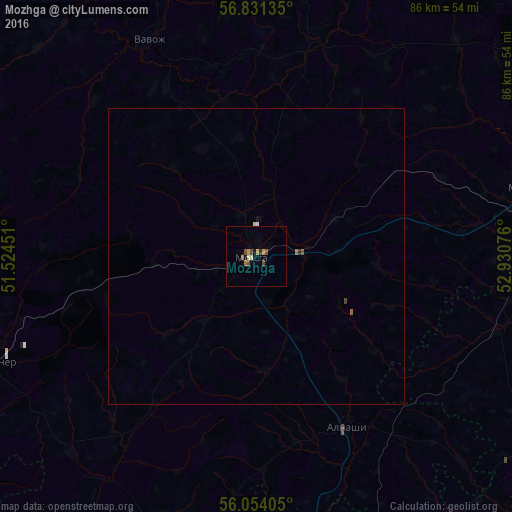
99.58%Clear (daylight) street map image can be seen on geolist.org.
Map coordinates:
56° 49' 52.9" North, 51° 31' 28.2" East
56° 26' 40.9" North, 52° 13' 39.5" East
56° 3' 14.6" North, 52° 55' 50.7" East
Some cities around Mozhga sort by population:
• Mendeleyevsk
59.8 km =37.2 mi,  176°
176°
• Uva
60.8 km =37.8 mi,  357°
357°
• Agryz
47.8 km =29.7 mi,  79°
79°
• Sosnovka
61.8 km =38.4 mi,  250°
250°
• Kizner
48.2 km =30 mi, 246°
• Malaya Purga
49.3 km =30.6 mi, 75°
• Alnashi
32.5 km =20.2 mi,  151°
151°
• Vavozh
41 km =25.5 mi,  333°
333°
524699 (p: 47,270)
Sources (retrieved 2019-11-25):
» Earth at Night: Flat Maps 2012, 2016