Alnashi night lights from space
Night Light of Alnashi (Udmurtiya Republic) from space (Russia) Src. Average luminocity for 10x10km area is 0.549% and for 50x50km: 0.0785%.
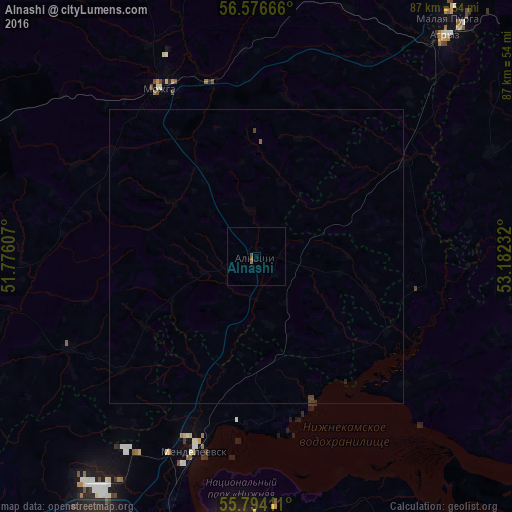
Analysis of Alnashi night lights 2016
Square area 10x10 km:
 0%
0%90-99
0%80-89
0%70-79
0%60-69
0%50-59
0.48%40-49
0.48%30-39
0%20-29
0%10-19
0%0-9
99.04%Square area 50x50 km:
0%90-99
0%80-89
0%70-79
0%60-69
0.01%50-59
0.03%40-49
0.07%30-39
0.02%20-29
0.03%10-19
0%0-9
99.84%Clear (daylight) street map image can be seen on geolist.org.
Map coordinates:
56° 34' 36" North, 51° 46' 33.9" East
56° 11' 14.6" North, 52° 28' 45.1" East
55° 47' 38.8" North, 53° 10' 56.4" East
Some cities around Alnashi sort by population:
• Naberezhnyye Chelny
51.5 km =32 mi,  184°
184°
• Yelabuga
53.9 km =33.5 mi,  208°
208°
• Mozhga
32.5 km =20.2 mi,  331°
331°
• Mendeleyevsk
33.2 km =20.6 mi,  200°
200°
• Agryz
48.8 km =30.3 mi,  40°
40°
• Menzelinsk
64.2 km =39.9 mi,  142°
142°
• Kizner
60.8 km =37.8 mi,  279°
279°
• Malaya Purga
52.3 km =32.5 mi, 38°
582423 (p: 6,205)
Sources (retrieved 2019-11-25):
» Earth at Night: Flat Maps 2012, 2016