Kizner night lights from space
Night Light of Kizner (Udmurtiya Republic) from space (Russia) Src. Average luminocity for 10x10km area is 1.1065% and for 50x50km: 0.1504%.
Analysis of Kizner night lights 2016
Square area 10x10 km:
 0.13%
0.13%90-99
0.38%80-89
0.38%70-79
0.13%60-69
0%50-59
0%40-49
0%30-39
0%20-29
0.5%10-19
0%0-9
98.5%Square area 50x50 km:
0.01%90-99
0.02%80-89
0.01%70-79
0.02%60-69
0.02%50-59
0.04%40-49
0.04%30-39
0.04%20-29
0.02%10-19
0%0-9
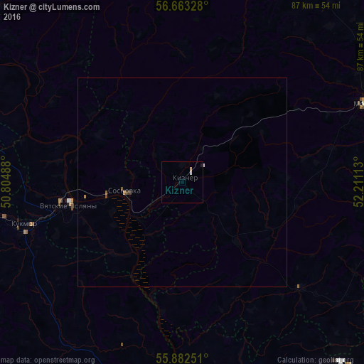
99.77%Clear (daylight) street map image can be seen on geolist.org.
Map coordinates:
56° 39' 47.8" North, 50° 48' 17.6" East
56° 16' 29.6" North, 51° 30' 28.8" East
55° 52' 57" North, 52° 12' 40.1" East
Some cities around Kizner sort by population:
• Mozhga
48.2 km =30 mi,  66°
66°
• Vyatskiye Polyany
27.9 km =17.3 mi,  258°
258°
• Kukmor
39.2 km =24.4 mi, 255°
• Sosnovka
14 km =8.7 mi, 260°
• Malmyzh
57.7 km =35.9 mi,  298°
298°
• Krasnaya Polyana
22.8 km =14.2 mi, 260°
• Alnashi
60.8 km =37.8 mi,  99°
99°
• Vavozh
61.4 km =38.2 mi,  25°
25°
547831 (p: 9,847)
Sources (retrieved 2019-11-25):
» Earth at Night: Flat Maps 2012, 2016