Malgobek night lights from space
Night Light of Malgobek (Ingushetiya Republic) from space (Russia) Src. Average luminocity for 10x10km area is 28.7952% and for 50x50km: 3.8812%.
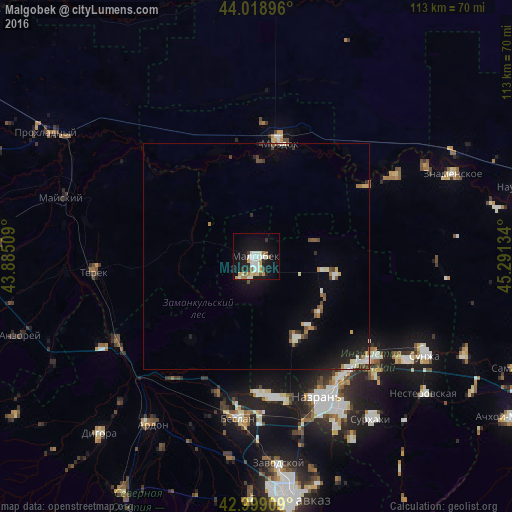
Analysis of Malgobek night lights 2016
Square area 10x10 km:
 5.08%
5.08%90-99
8.1%80-89
2.22%70-79
4.6%60-69
2.06%50-59
2.22%40-49
0.79%30-39
2.38%20-29
2.86%10-19
29.37%0-9
40.32%Square area 50x50 km:
0.4%90-99
0.86%80-89
0.25%70-79
0.46%60-69
0.38%50-59
0.45%40-49
0.38%30-39
0.45%20-29
0.59%10-19
3.01%0-9
92.76%Clear (daylight) street map image can be seen on geolist.org.
Map coordinates:
44° 1' 8.3" North, 43° 53' 6.3" East
43° 30' 40.2" North, 44° 35' 17.6" East
42° 59' 56.7" North, 45° 17' 28.8" East
Some cities around Malgobek sort by population:
• Staryy Malgobek
3.7 km =2.3 mi,  9°
9°
• Sagopshi
2.9 km =1.8 mi,  176°
176°
• Verkhniye Achaluki
20.3 km =12.6 mi,  154°
154°
• Kizlyar
21.4 km =13.3 mi,  1°
1°
• Alkhan-Churt
23.9 km =14.9 mi,  137°
137°
• Voznesenskaya
13.2 km =8.2 mi,  74°
74°
• Psedakh
5.1 km =3.2 mi,  197°
197°
• Nizhniye Achaluki
18.3 km =11.4 mi,  131°
131°
531129 (p: 43,400)
Sources (retrieved 2019-11-25):
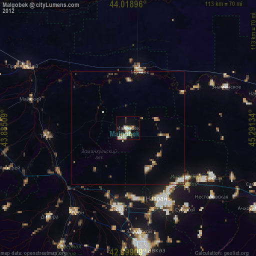
» Earth at Night: Flat Maps 2012, 2016