Kuybyshevo night lights from space
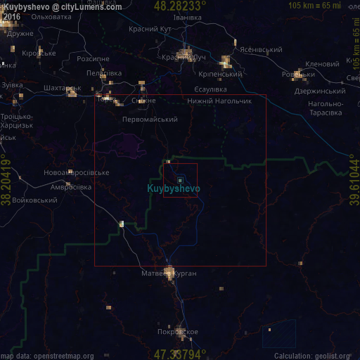
Night Light of Kuybyshevo (Rostov) from space (Russia) Src. Average luminocity for 10x10km area is 0.2604% and for 50x50km: 0.4334%.
Analysis of Kuybyshevo night lights 2016
Square area 10x10 km:
 0%
0%90-99
0%80-89
0%70-79
0%60-69
0%50-59
0%40-49
0%30-39
0.6%20-29
0%10-19
0%0-9
99.4%Square area 50x50 km:
0.01%90-99
0.06%80-89
0.02%70-79
0.07%60-69
0.09%50-59
0.03%40-49
0.13%30-39
0.17%20-29
0.09%10-19
0.07%0-9
99.25%Clear (daylight) street map image can be seen on geolist.org.
Map coordinates:
48° 16' 56.4" North, 38° 12' 15.1" East
47° 48' 44.2" North, 38° 54' 26.3" East
47° 20' 16.6" North, 39° 36' 37.6" East
Some cities around Kuybyshevo sort by population:
• Krasnyy Luch, UA
36.5 km =22.7 mi,  3°
3°
• Chystyakove, UA
34.2 km =21.3 mi,  317°
317°
• Antratsyt, UA
36.3 km =22.6 mi,  22°
22°
• Snizhne, UA
25.8 km =16 mi,  337°
337°
• Amvrosiyivka, UA
32.2 km =20 mi,  266°
266°
• Matveyev Kurgan
27.7 km =17.2 mi,  185°
185°
• Kripens’kyy, UA
31.5 km =19.6 mi, 20°
• Miusyns’k, UA
29.5 km =18.3 mi,  359°
359°
538061 (p: 5,790)
Sources (retrieved 2019-11-25):
» Earth at Night: Flat Maps 2012, 2016