Kachkanar night lights from space
Night Light of Kachkanar (Sverdlovsk) from space (Russia) Src. Average luminocity for 10x10km area is 18.6837% and for 50x50km: 2.9635%.
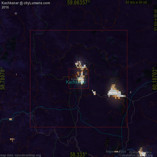
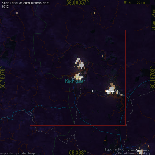
Analysis of Kachkanar night lights 2016
Square area 10x10 km:
 2.72%
2.72%90-99
2.27%80-89
1.7%70-79
4.42%60-69
0.45%50-59
3.4%40-49
2.04%30-39
0%20-29
4.2%10-19
24.38%0-9
54.42%Square area 50x50 km:
0.56%90-99
0.6%80-89
0.25%70-79
0.41%60-69
0.19%50-59
0.29%40-49
0.21%30-39
0.04%20-29
0.56%10-19
3.16%0-9
93.72%Clear (daylight) street map image can be seen on geolist.org.
Map coordinates:
59° 3' 48.9" North, 58° 46' 50.8" East
58° 42' 0.7" North, 59° 29' 2" East
58° 19' 58.8" North, 60° 11' 13.3" East
Some cities around Kachkanar sort by population:
• Kushva
48.3 km =30 mi,  160°
160°
• Krasnoural’sk
49.4 km =30.7 mi,  139°
139°
• Lesnoy
19.7 km =12.2 mi,  110°
110°
• Nizhnyaya Tura
20.5 km =12.7 mi, 112°
• Novaya Lyalya
75.3 km =46.8 mi,  58°
58°
• Gornozavodsk
76.5 km =47.5 mi,  241°
241°
• Baranchinskiy
61.2 km =38 mi,  168°
168°
• Verkhnyaya Tura
42.1 km =26.2 mi,  153°
153°
554599 (p: 43,983)
Sources (retrieved 2019-11-25):
» Earth at Night: Flat Maps 2012, 2016