Kovrov night lights from space
Night Light of Kovrov (Vladimir) from space (Russia) Src. Average luminocity for 10x10km area is 35.025% and for 50x50km: 2.157%.
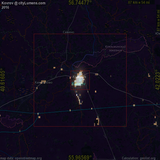
Analysis of Kovrov night lights 2016
Square area 10x10 km:
 8.57%
8.57%90-99
11.07%80-89
2.98%70-79
2.62%60-69
1.67%50-59
2.14%40-49
1.31%30-39
2.02%20-29
10.6%10-19
28.45%0-9
28.57%Square area 50x50 km:
0.34%90-99
0.46%80-89
0.14%70-79
0.21%60-69
0.21%50-59
0.29%40-49
0.31%30-39
0.22%20-29
0.52%10-19
1.85%0-9
95.45%Clear (daylight) street map image can be seen on geolist.org.
Map coordinates:
56° 44' 41.2" North, 40° 36' 57.8" East
56° 21' 26" North, 41° 19' 9" East
55° 57' 56.5" North, 42° 1' 20.3" East
Some cities around Kovrov sort by population:
• Yuzha
49.4 km =30.7 mi,  59°
59°
• Kameshkovo
19.1 km =11.9 mi,  268°
268°
• Kideksha
49.7 km =30.9 mi,  278°
278°
• Melekhovo
9 km =5.6 mi,  190°
190°
• Nikologory
48 km =29.8 mi,  120°
120°
• Savino
26.9 km =16.7 mi,  346°
346°
• Mstera
37.1 km =23.1 mi,  86°
86°
• Andreyevo
46.8 km =29.1 mi, 192°
543460 (p: 154,224)
Sources (retrieved 2019-11-25):
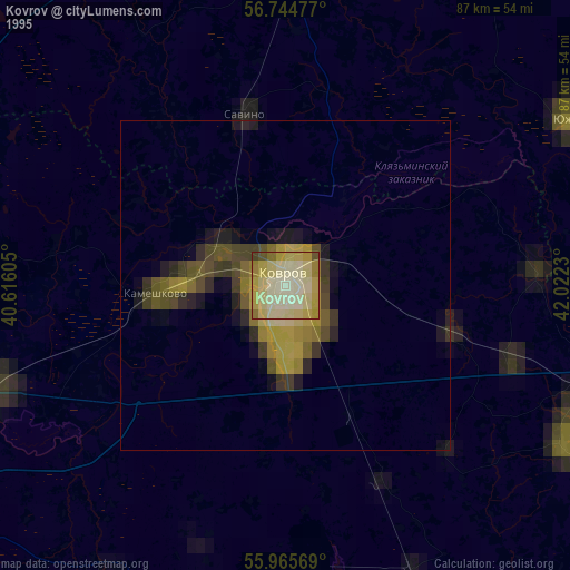
» NASA, Earths city lights 1995
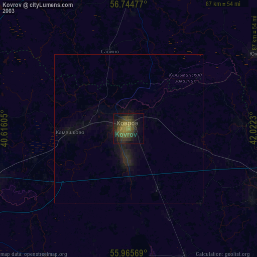
» NASA city lights 2003
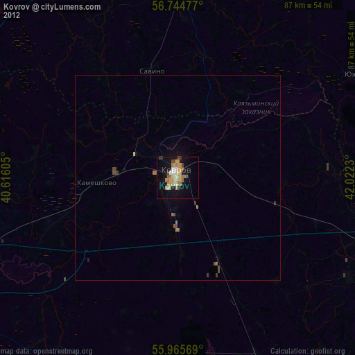
» Earth at Night: Flat Maps 2012, 2016