Andreyevo night lights from space
Night Light of Andreyevo (Vladimir) from space (Russia) Src. Average luminocity for 10x10km area is 2.8847% and for 50x50km: 0.2469%.
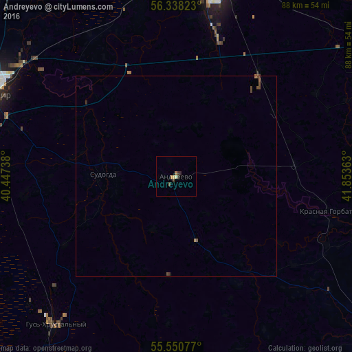
Analysis of Andreyevo night lights 2016
Square area 10x10 km:
 0%
0%90-99
0.25%80-89
0.63%70-79
0.63%60-69
0.5%50-59
0.5%40-49
0.5%30-39
1.13%20-29
0.38%10-19
0%0-9
95.49%Square area 50x50 km:
0%90-99
0.01%80-89
0.02%70-79
0.04%60-69
0.05%50-59
0.1%40-49
0.1%30-39
0.07%20-29
0.02%10-19
0%0-9
99.59%Clear (daylight) street map image can be seen on geolist.org.
Map coordinates:
56° 20' 17.6" North, 40° 26' 50.6" East
55° 56' 47.4" North, 41° 9' 1.8" East
55° 33' 2.8" North, 41° 51' 13.1" East
Some cities around Andreyevo sort by population:
• Vladimir
51.4 km =31.9 mi,  294°
294°
• Kovrov
46.8 km =29.1 mi,  12°
12°
• Gus’-Khrustal’nyy
48.6 km =30.2 mi,  219°
219°
• Raduzhnyy
50.9 km =31.6 mi,  277°
277°
• Kameshkovo
46 km =28.6 mi,  349°
349°
• Sudogda
17.9 km =11.1 mi,  272°
272°
• Krasnaya Gorbatka
39.2 km =24.4 mi,  102°
102°
• Melekhovo
37.8 km =23.5 mi, 13°
581989 (p: 5,204)
Sources (retrieved 2019-11-25):
» Earth at Night: Flat Maps 2012, 2016