Mstera night lights from space
Night Light of Mstera (Vladimir) from space (Russia) Src. Average luminocity for 10x10km area is 0.7286% and for 50x50km: 0.6597%.
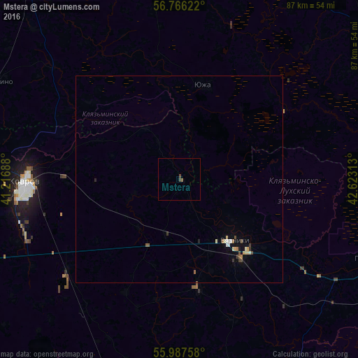
Analysis of Mstera night lights 2016
Square area 10x10 km:
 0%
0%90-99
0%80-89
0%70-79
0%60-69
0%50-59
0.48%40-49
0.95%30-39
0%20-29
0%10-19
0%0-9
98.57%Square area 50x50 km:
0.04%90-99
0.11%80-89
0.1%70-79
0.05%60-69
0.08%50-59
0.11%40-49
0.12%30-39
0.1%20-29
0.06%10-19
0.08%0-9
99.15%Clear (daylight) street map image can be seen on geolist.org.
Map coordinates:
56° 45' 58.4" North, 41° 13' 0.8" East
56° 22' 44" North, 41° 55' 12" East
55° 59' 15.3" North, 42° 37' 23.3" East
Some cities around Mstera sort by population:
• Kovrov
37.1 km =23.1 mi,  266°
266°
• Vyazniki
21.2 km =13.2 mi,  136°
136°
• Yuzha
23.4 km =14.5 mi,  14°
14°
• Melekhovo
40.2 km =25 mi,  253°
253°
• Nikologory
26.8 km =16.7 mi,  170°
170°
• Talitsy
30.3 km =18.8 mi,  56°
56°
• Palekh
47.3 km =29.4 mi,  355°
355°
• Novovyazniki
25.4 km =15.8 mi, 142°
524651 (p: 5,470)
Sources (retrieved 2019-11-25):
» Earth at Night: Flat Maps 2012, 2016