Kizilyurt night lights from space
Night Light of Kizilyurt (Dagestan) from space (Russia) Src. Average luminocity for 10x10km area is 34.7121% and for 50x50km: 7.9123%.
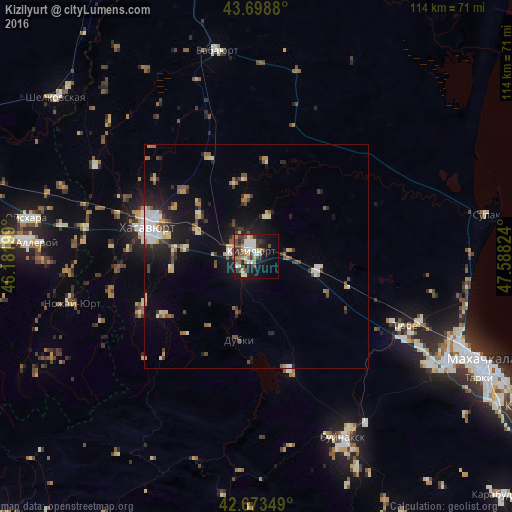
Analysis of Kizilyurt night lights 2016
Square area 10x10 km:
 5.15%
5.15%90-99
8.18%80-89
1.67%70-79
6.52%60-69
2.58%50-59
4.55%40-49
6.52%30-39
6.52%20-29
6.67%10-19
23.79%0-9
27.88%Square area 50x50 km:
0.9%90-99
1.44%80-89
0.73%70-79
0.89%60-69
0.78%50-59
1.01%40-49
1.39%30-39
0.97%20-29
1.9%10-19
5.66%0-9
84.32%Clear (daylight) street map image can be seen on geolist.org.
Map coordinates:
43° 41' 55.7" North, 46° 10' 55.2" East
43° 11' 17.9" North, 46° 53' 6.4" East
42° 40' 24.6" North, 47° 35' 17.7" East
Some cities around Kizilyurt sort by population:
• Chontaul
13.1 km =8.1 mi,  350°
350°
• Dylym
24.2 km =15 mi,  237°
237°
• Novyy Chirkey
14.1 km =8.8 mi,  101°
101°
• Endirey
18.9 km =11.7 mi,  261°
261°
• Mutsalaul
15.8 km =9.8 mi,  307°
307°
• Dubki
19 km =11.8 mi,  191°
191°
• Novyy Sulak
4.8 km =3 mi, 260°
• Bavtugay
4.7 km =2.9 mi, 241°
547849 (p: 33,411)
Sources (retrieved 2019-11-25):
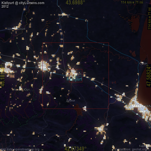
» Earth at Night: Flat Maps 2012, 2016