Cherepovets night lights from space
Night Light of Cherepovets (Vologda) from space (Russia) Src. Average luminocity for 10x10km area is 68.9864% and for 50x50km: 4.9438%.
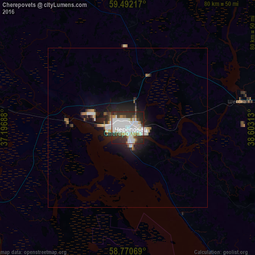
Analysis of Cherepovets night lights 2016
Square area 10x10 km:
 23.81%
90-99
25.06%80-89
3.97%70-79
4.08%60-69
2.15%50-59
3.51%40-49
4.99%30-39
11%20-29
18.37%10-19
3.06%0-9
0%Square area 50x50 km:
1.21%90-99
1.25%80-89
0.32%70-79
0.35%60-69
0.31%50-59
0.34%40-49
0.36%30-39
0.69%20-29
1.71%10-19
3.33%0-9
90.12%Clear (daylight) street map image can be seen on geolist.org.
Map coordinates:
59° 29' 31.8" North, 37° 11' 48.8" East
59° 7' 60" North, 37° 54' 0" East
58° 46' 14.5" North, 38° 36' 11.3" East
Some cities around Cherepovets sort by population:
• Sheksna
35.8 km =22.2 mi,  76°
76°
• Kaduy
43.4 km =27 mi,  279°
279°
• Belozërsk
99.7 km =62 mi,  357°
357°
• Ustyuzhna
90.2 km =56 mi,  248°
248°
• Ves’yegonsk
63.8 km =39.6 mi,  215°
215°
• Kirillov
85.6 km =53.2 mi,  18°
18°
• Poshekhon’ye
100.1 km =62.2 mi,  134°
134°
• Suda
19.6 km =12.2 mi, 276°
569223 (p: 315,738)
Sources (retrieved 2019-11-25):
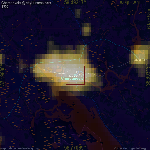
» NASA, Earths city lights 1995
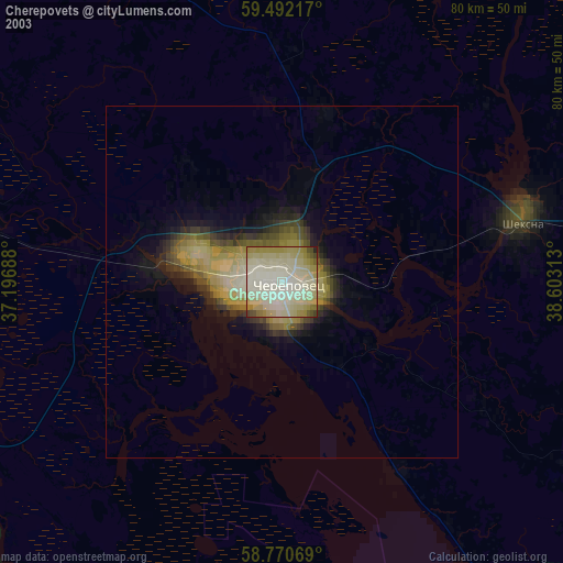
» NASA city lights 2003
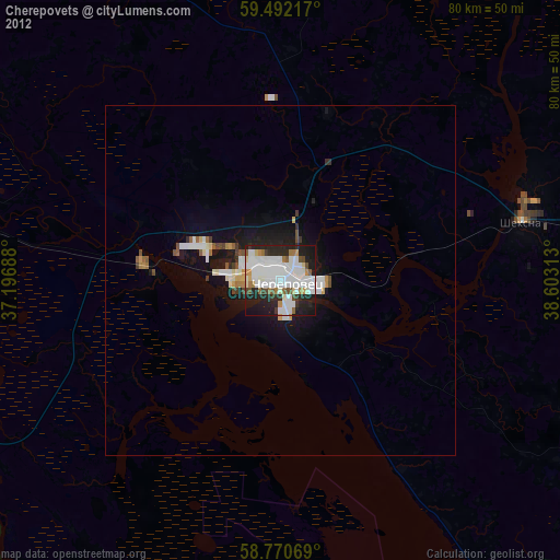
» Earth at Night: Flat Maps 2012, 2016