Sokol night lights from space
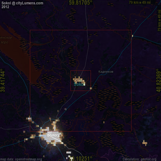
Night Light of Sokol (Vologda) from space (Russia) Src. Average luminocity for 10x10km area is 6.4388% and for 50x50km: 1.3534%.

Analysis of Sokol night lights 2016
Square area 10x10 km:
 0%
0%90-99
0%80-89
1.02%70-79
0.34%60-69
0.45%50-59
1.47%40-49
4.65%30-39
3.29%20-29
0.11%10-19
0%0-9
88.66%Square area 50x50 km:
0.04%90-99
0.14%80-89
0.15%70-79
0.14%60-69
0.16%50-59
0.16%40-49
0.37%30-39
0.41%20-29
0.63%10-19
1.02%0-9
96.77%Clear (daylight) street map image can be seen on geolist.org.
Map coordinates:
59° 49' 1.4" North, 39° 25' 2.8" East
59° 27' 42" North, 40° 7' 14" East
59° 6' 9" North, 40° 49' 25.3" East
Some cities around Sokol sort by population:
• Vologda
29.6 km =18.4 mi,  206°
206°
• Sheksna
95.5 km =59.3 mi,  252°
252°
• Gryazovets
65.1 km =40.5 mi,  173°
173°
• Kharovsk
56 km =34.8 mi,  4°
4°
• Molochnoye
31.4 km =19.5 mi,  232°
232°
• Kirillov
107.4 km =66.7 mi,  294°
294°
• Vokhtoga
90.2 km =56 mi,  143°
143°
• Kadnikov
13.1 km =8.1 mi,  69°
69°
491281 (p: 42,174)
Sources (retrieved 2019-11-25):
» Earth at Night: Flat Maps 2012, 2016