Kimry night lights from space
Night Light of Kimry (Tver’ Oblast) from space (Russia) Src. Average luminocity for 10x10km area is 19.9886% and for 50x50km: 2.1712%.
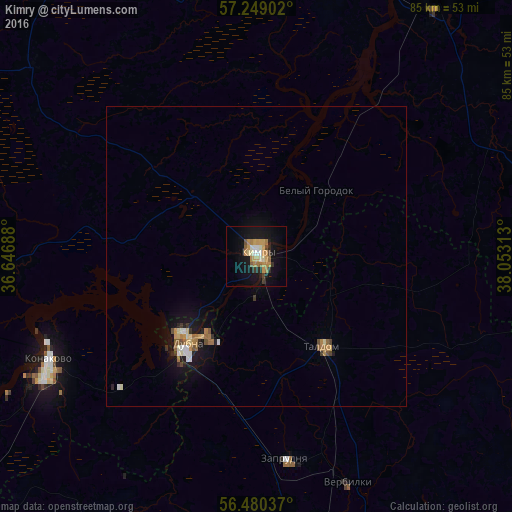
Analysis of Kimry night lights 2016
Square area 10x10 km:
 1.14%
1.14%90-99
3.18%80-89
2.16%70-79
6.14%60-69
3.52%50-59
1.25%40-49
1.25%30-39
1.82%20-29
2.95%10-19
20.23%0-9
56.36%Square area 50x50 km:
0.16%90-99
0.32%80-89
0.25%70-79
0.41%60-69
0.41%50-59
0.2%40-49
0.22%30-39
0.21%20-29
0.3%10-19
1.95%0-9
95.57%Clear (daylight) street map image can be seen on geolist.org.
Map coordinates:
57° 14' 56.5" North, 36° 38' 48.8" East
56° 52' 0" North, 37° 21' 0" East
56° 28' 49.3" North, 38° 3' 11.3" East
Some cities around Kimry sort by population:
• Dubna
18.6 km =11.6 mi,  216°
216°
• Konakovo
40.1 km =24.9 mi,  242°
242°
• Kalyazin
51.1 km =31.8 mi,  35°
35°
• Taldom
18.6 km =11.6 mi,  143°
143°
• Zaprudnya
33.7 km =20.9 mi,  171°
171°
• Vinogradovo
14.2 km =8.8 mi,  58°
58°
• Bogorodskoye
48 km =29.8 mi, 137°
• Verbilki
40.1 km =24.9 mi,  157°
157°
548652 (p: 52,070)
Sources (retrieved 2019-11-25):
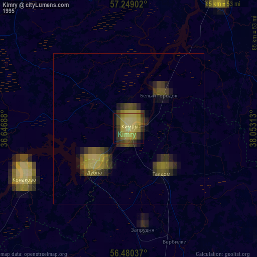
» NASA, Earths city lights 1995
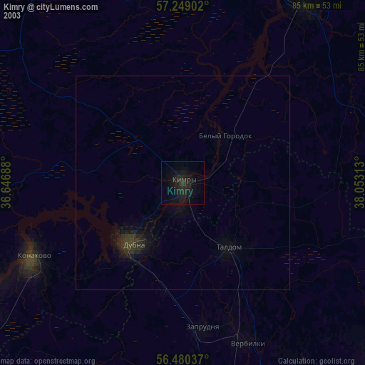
» NASA city lights 2003
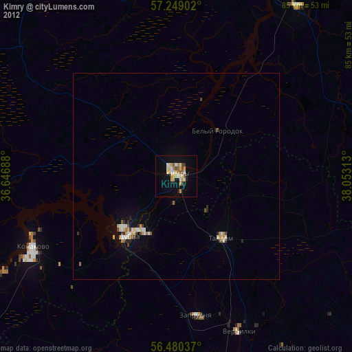
» Earth at Night: Flat Maps 2012, 2016