Kalyazin night lights from space
Night Light of Kalyazin (Tver’ Oblast) from space (Russia) Src. Average luminocity for 10x10km area is 1.2333% and for 50x50km: 0.1469%.
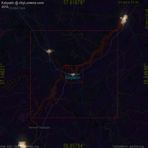
Analysis of Kalyazin night lights 2016
Square area 10x10 km:
 0%
0%90-99
0%80-89
0%70-79
0%60-69
0%50-59
0.95%40-49
0.48%30-39
0.48%20-29
0.48%10-19
0.48%0-9
97.14%Square area 50x50 km:
0%90-99
0%80-89
0%70-79
0%60-69
0.02%50-59
0.1%40-49
0.06%30-39
0.05%20-29
0.07%10-19
0.03%0-9
99.68%Clear (daylight) street map image can be seen on geolist.org.
Map coordinates:
57° 37' 7.6" North, 37° 8' 24.8" East
57° 14' 25" North, 37° 50' 36" East
56° 51' 28.2" North, 38° 32' 47.3" East
Some cities around Kalyazin sort by population:
• Dubna
69.7 km =43.3 mi,  216°
216°
• Kimry
51.1 km =31.8 mi, 215°
• Uglich
43.3 km =26.9 mi,  42°
42°
• Kashin
19.4 km =12.1 mi,  313°
313°
• Taldom
59.4 km =36.9 mi,  198°
198°
• Vinogradovo
38.5 km =23.9 mi,  207°
207°
• Bogorodskoye
76.8 km =47.7 mi,  178°
178°
• Myshkin
71.2 km =44.2 mi,  30°
30°
553884 (p: 14,655)
Sources (retrieved 2019-11-25):
» Earth at Night: Flat Maps 2012, 2016