Zaprudnya night lights from space
Night Light of Zaprudnya (Moscow Oblast) from space (Russia) Src. Average luminocity for 10x10km area is 2.9182% and for 50x50km: 3.1084%.
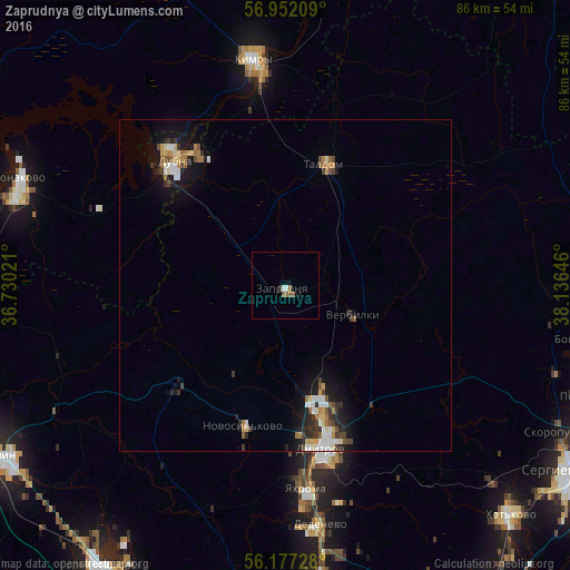
Analysis of Zaprudnya night lights 2016
Square area 10x10 km:
 0.45%
0.45%90-99
0.45%80-89
0%70-79
0%60-69
1.02%50-59
1.25%40-49
0%30-39
0%20-29
0.45%10-19
0.91%0-9
95.45%Square area 50x50 km:
0.43%90-99
0.52%80-89
0.32%70-79
0.33%60-69
0.46%50-59
0.38%40-49
0.4%30-39
0.49%20-29
0.7%10-19
2.4%0-9
93.58%Clear (daylight) street map image can be seen on geolist.org.
Map coordinates:
56° 57' 7.5" North, 36° 43' 48.8" East
56° 34' 0" North, 37° 25' 60" East
56° 10' 38.2" North, 38° 8' 11.3" East
Some cities around Zaprudnya sort by population:
• Dmitrov
25.2 km =15.7 mi,  167°
167°
• Dubna
24.7 km =15.3 mi,  318°
318°
• Kimry
33.7 km =20.9 mi,  351°
351°
• Taldom
19.5 km =12.1 mi,  18°
18°
• Yakhroma
29.8 km =18.5 mi, 174°
• Bogorodskoye
27.6 km =17.1 mi,  93°
93°
• Novosin’kovo
22 km =13.7 mi,  196°
196°
• Verbilki
10.9 km =6.8 mi,  109°
109°
464708 (p: 12,517)
Sources (retrieved 2019-11-25):
» Earth at Night: Flat Maps 2012, 2016