Karabulak night lights from space
Night Light of Karabulak (Ingushetiya Republic) from space (Russia) Src. Average luminocity for 10x10km area is 36.6015% and for 50x50km: 13.455%.
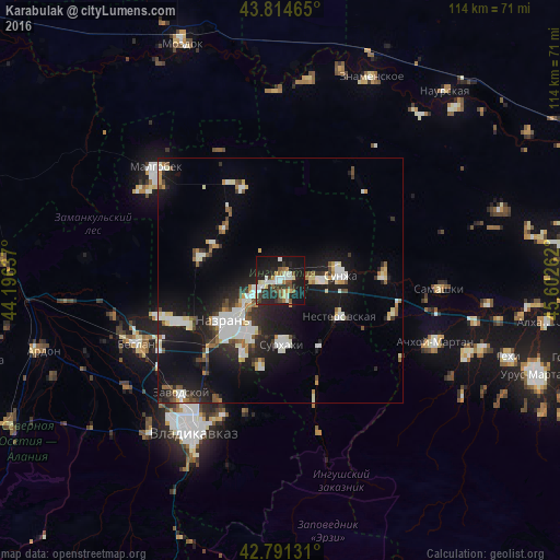
Analysis of Karabulak night lights 2016
Square area 10x10 km:
 5.3%
5.3%90-99
8.79%80-89
2.88%70-79
3.79%60-69
3.03%50-59
4.09%40-49
4.39%30-39
5.76%20-29
15.45%10-19
38.48%0-9
8.03%Square area 50x50 km:
2.18%90-99
3.06%80-89
1.12%70-79
1.03%60-69
1%50-59
1.29%40-49
1.38%30-39
1.5%20-29
3.92%10-19
13.31%0-9
70.21%Clear (daylight) street map image can be seen on geolist.org.
Map coordinates:
43° 48' 52.7" North, 44° 11' 46.9" East
43° 18' 18.5" North, 44° 53' 58.2" East
42° 47' 28.7" North, 45° 36' 9.4" East
Some cities around Karabulak sort by population:
• Nazran’
13.5 km =8.4 mi,  229°
229°
• Sunzha
12.2 km =7.6 mi,  82°
82°
• Ekazhevo
12 km =7.5 mi,  210°
210°
• Troitskaya
6.8 km =4.2 mi,  88°
88°
• Nesterovskaya
14.3 km =8.9 mi,  121°
121°
• Surkhakhi
13.1 km =8.1 mi,  179°
179°
• Alkhan-Churt
10.5 km =6.5 mi,  299°
299°
• Magas
13.8 km =8.6 mi, 228°
552951 (p: 34,511)
Sources (retrieved 2019-11-25):
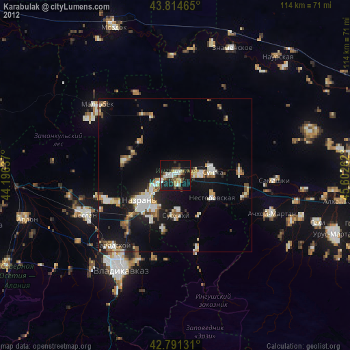
» Earth at Night: Flat Maps 2012, 2016