Rodniki night lights from space
Night Light of Rodniki (Ivanovo) from space (Russia) Src. Average luminocity for 10x10km area is 6.156% and for 50x50km: 0.5976%.
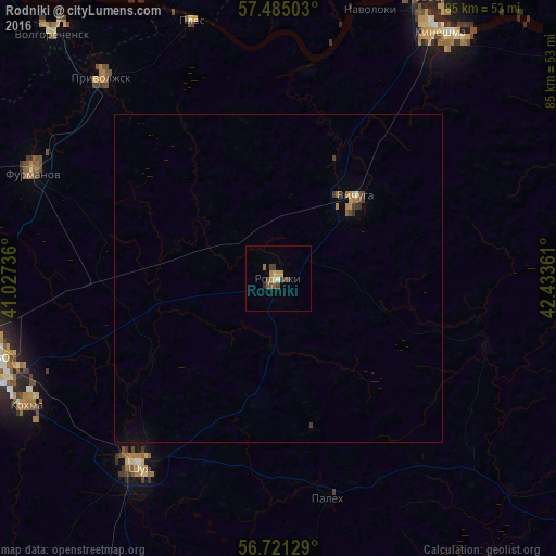
Analysis of Rodniki night lights 2016
Square area 10x10 km:
 0%
0%90-99
0.48%80-89
0.95%70-79
0.83%60-69
1.55%50-59
0.95%40-49
2.14%30-39
1.67%20-29
0.48%10-19
0%0-9
90.95%Square area 50x50 km:
0.01%90-99
0.02%80-89
0.06%70-79
0.07%60-69
0.17%50-59
0.08%40-49
0.19%30-39
0.18%20-29
0.03%10-19
0.01%0-9
99.17%Clear (daylight) street map image can be seen on geolist.org.
Map coordinates:
57° 29' 6.1" North, 41° 1' 38.5" East
57° 6' 18.5" North, 41° 43' 49.7" East
56° 43' 16.6" North, 42° 26' 1" East
Some cities around Rodniki sort by population:
• Shuya
35.3 km =21.9 mi,  216°
216°
• Vichuga
17 km =10.6 mi,  45°
45°
• Furmanov
41 km =25.5 mi,  293°
293°
• Kokhma
43.1 km =26.8 mi,  243°
243°
• Privolzhsk
41.2 km =25.6 mi,  319°
319°
• Navoloki
42.5 km =26.4 mi,  19°
19°
• Palekh
34.5 km =21.4 mi,  167°
167°
• Staraya Vichuga
20.2 km =12.6 mi,  26°
26°
501730 (p: 27,681)
Sources (retrieved 2019-11-25):
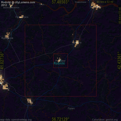
» Earth at Night: Flat Maps 2012, 2016