Dyat’kovo night lights from space
Night Light of Dyat’kovo (Bryansk Oblast) from space (Russia) Src. Average luminocity for 10x10km area is 0.5644% and for 50x50km: 0.4935%.
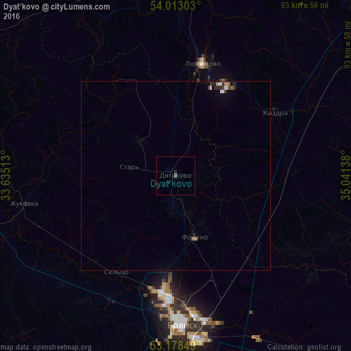
Analysis of Dyat’kovo night lights 2016
Square area 10x10 km:
 0%
0%90-99
0%80-89
0%70-79
0%60-69
0%50-59
0.38%40-49
0.13%30-39
0%20-29
1.01%10-19
0%0-9
98.48%Square area 50x50 km:
0.08%90-99
0.05%80-89
0.03%70-79
0.06%60-69
0.06%50-59
0.06%40-49
0.1%30-39
0.09%20-29
0.21%10-19
0.09%0-9
99.19%Clear (daylight) street map image can be seen on geolist.org.
Map coordinates:
54° 0' 46.9" North, 33° 38' 6.5" East
53° 35' 52.2" North, 34° 20' 17.7" East
53° 10' 42.6" North, 35° 2' 29" East
Some cities around Dyat’kovo sort by population:
• Bryansk
38.5 km =23.9 mi,  176°
176°
• Lyudinovo
30.7 km =19.1 mi,  13°
13°
• Zhukovka
40.9 km =25.4 mi,  260°
260°
• Sel’tso
29.9 km =18.6 mi,  211°
211°
• Ivot
13.2 km =8.2 mi,  310°
310°
• Zhizdra
31.1 km =19.3 mi,  58°
58°
• Rzhanitsa
33.3 km =20.7 mi,  235°
235°
• Lyubokhna
11 km =6.8 mi,  162°
162°
563822 (p: 33,200)
Sources (retrieved 2019-11-25):
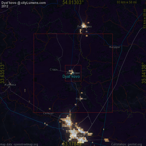
» Earth at Night: Flat Maps 2012, 2016