Zhizdra night lights from space
Night Light of Zhizdra (Kaluga) from space (Russia) Src. Average luminocity for 10x10km area is 0.1944% and for 50x50km: 0.8232%.
Analysis of Zhizdra night lights 2016
Square area 10x10 km:
 0%
0%90-99
0%80-89
0%70-79
0%60-69
0%50-59
0%40-49
0%30-39
0%20-29
0%10-19
1.01%0-9
98.99%Square area 50x50 km:
0.11%90-99
0.07%80-89
0.05%70-79
0.1%60-69
0.07%50-59
0.07%40-49
0.18%30-39
0.21%20-29
0.21%10-19
0.29%0-9
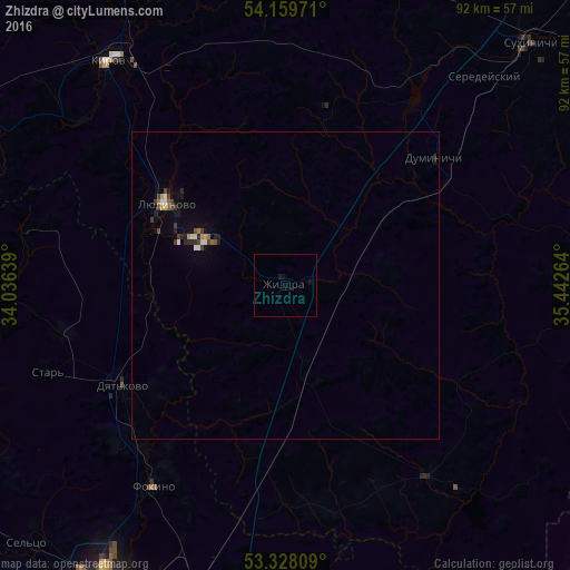
98.64%Clear (daylight) street map image can be seen on geolist.org.
Map coordinates:
54° 9' 35" North, 34° 2' 11" East
53° 44' 45.5" North, 34° 44' 22.2" East
53° 19' 41.1" North, 35° 26' 33.5" East
Some cities around Zhizdra sort by population:
• Lyudinovo
23.4 km =14.5 mi,  304°
304°
• Kirov
45.9 km =28.5 mi,  321°
321°
• Dyat’kovo
31.1 km =19.3 mi,  238°
238°
• Sel’tso
59.4 km =36.9 mi,  225°
225°
• Sukhinichi
55.7 km =34.6 mi,  45°
45°
• Duminichi
32.1 km =19.9 mi, 49°
• Ivot
37.2 km =23.1 mi,  257°
257°
• Lyubokhna
35.5 km =22.1 mi,  220°
220°
462914 (p: 5,737)
Sources (retrieved 2019-11-25):
» Earth at Night: Flat Maps 2012, 2016