Aginskoye night lights from space
Night Light of Aginskoye (Krasnoyarskiy) from space (Russia) Src. Average luminocity for 10x10km area is 1.7739% and for 50x50km: 0.1103%.
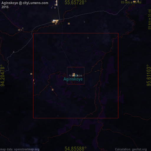
Analysis of Aginskoye night lights 2016
Square area 10x10 km:
 0%
0%90-99
0%80-89
0%70-79
0%60-69
0.6%50-59
1.2%40-49
0.72%30-39
0.36%20-29
0.48%10-19
0%0-9
96.65%Square area 50x50 km:
0%90-99
0%80-89
0%70-79
0%60-69
0.02%50-59
0.09%40-49
0.03%30-39
0.01%20-29
0.06%10-19
0.02%0-9
99.77%Clear (daylight) street map image can be seen on geolist.org.
Map coordinates:
55° 39' 26.2" North, 94° 12' 17.2" East
55° 15' 31" North, 94° 54' 28.4" East
54° 51' 21.2" North, 95° 36' 39.7" East
Some cities around Aginskoye sort by population:
• Kansk
116.5 km =72.4 mi,  25°
25°
• Zheleznogorsk
140 km =87 mi,  322°
322°
• Zelenogorsk
96.9 km =60.2 mi,  348°
348°
• Sosnovoborsk
137.4 km =85.4 mi,  314°
314°
• Borodino
72 km =44.7 mi,  0°
0°
• Ilanskiy
130.3 km =81 mi, 33°
• Uyar
71.6 km =44.5 mi,  329°
329°
• Zykovo
134.3 km =83.5 mi, 305°
1512102 (p: 6,077)
Sources (retrieved 2019-11-25):
» Earth at Night: Flat Maps 2012, 2016