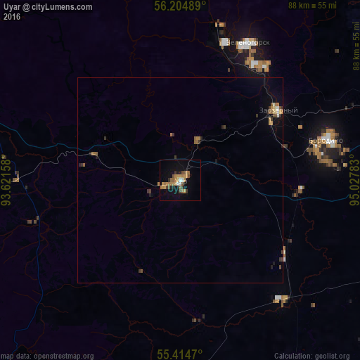
Uyar night lights from space
Night Light of Uyar (Krasnoyarskiy) from space (Russia) Src. Average luminocity for 10x10km area is 17.1268% and for 50x50km: 1.5372%.
Analysis of Uyar night lights 2016
Square area 10x10 km:
 0.96%
0.96%90-99
0.96%80-89
0.48%70-79
5.5%60-69
3.83%50-59
3.47%40-49
2.39%30-39
2.27%20-29
1.2%10-19
10.77%0-9
68.18%Square area 50x50 km:
0.05%90-99
0.13%80-89
0.09%70-79
0.34%60-69
0.31%50-59
0.28%40-49
0.25%30-39
0.33%20-29
0.19%10-19
0.61%0-9
97.43%Clear (daylight) street map image can be seen on geolist.org.
Map coordinates:
56° 12' 17.6" North, 93° 37' 17.7" East
55° 48' 42.5" North, 94° 19' 28.9" East
55° 24' 52.9" North, 95° 1' 40.2" East
Some cities around Uyar sort by population:
• Zheleznogorsk
69.4 km =43.1 mi,  314°
314°
• Zelenogorsk
37.5 km =23.3 mi,  27°
27°
• Sosnovoborsk
70.4 km =43.7 mi,  299°
299°
• Berëzovka
79.4 km =49.3 mi,  287°
287°
• Borodino
37.9 km =23.5 mi,  73°
73°
• Solnechnyy
93.4 km =58 mi, 291°
• Aginskoye
71.6 km =44.5 mi,  149°
149°
• Zykovo
74.3 km =46.2 mi,  282°
282°
1487922 (p: 13,167)
Sources (retrieved 2019-11-25):
» Earth at Night: Flat Maps 2012, 2016