Subotica night lights from space
Night Light of Subotica (Vojvodina) from space (Serbia) Src. Average luminocity for 10x10km area is 53.8026% and for 50x50km: 5.4915%.
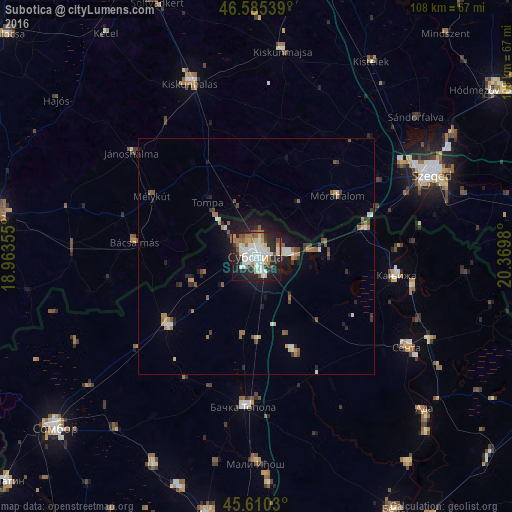

Analysis of Subotica night lights 2016
Square area 10x10 km:
 12.64%
90-99
14.91%80-89
6.53%70-79
4.12%60-69
5.68%50-59
4.69%40-49
5.54%30-39
3.55%20-29
21.45%10-19
19.46%0-9
1.42%Square area 50x50 km:
0.72%90-99
0.97%80-89
0.5%70-79
0.48%60-69
0.81%50-59
0.85%40-49
0.68%30-39
0.56%20-29
1.47%10-19
3.64%0-9
89.32%Clear (daylight) street map image can be seen on geolist.org.
Map coordinates:
46° 35' 7.4" North, 18° 57' 48.8" East
46° 6' 0" North, 19° 40' 0" East
45° 36' 37.1" North, 20° 22' 11.3" East
Some cities around Subotica sort by population:
• Senta
37.1 km =23.1 mi,  121°
121°
• Bačka Topola
31.8 km =19.8 mi,  184°
184°
• Kanjiža
29.8 km =18.5 mi,  97°
97°
• Jánoshalma, HU
34.3 km =21.3 mi,  310°
310°
• Novi Kneževac
33.9 km =21.1 mi, 99°
• Bácsalmás, HU
25.9 km =16.1 mi,  276°
276°
• Mélykút, HU
25.5 km =15.8 mi,  300°
300°
• Mórahalom, HU
21.3 km =13.2 mi,  52°
52°
3189595 (p: 100,000)
Sources (retrieved 2019-11-25):
» NASA, Earths city lights 1995
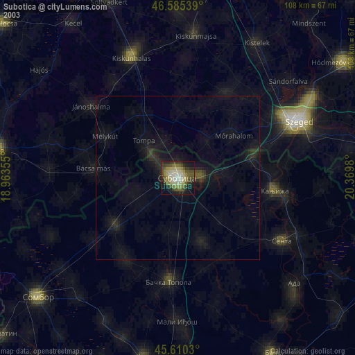
» NASA city lights 2003
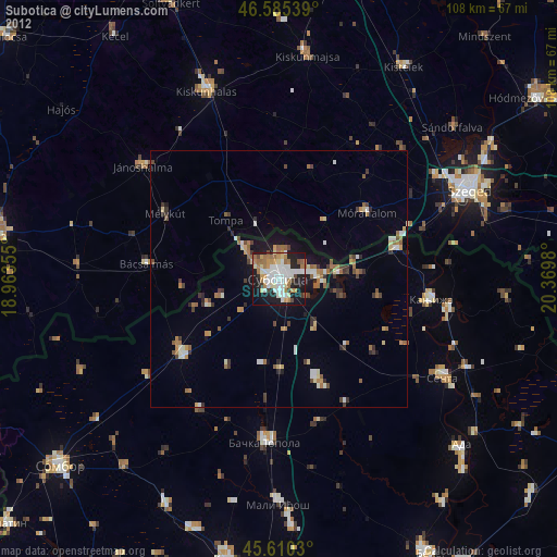
» Earth at Night: Flat Maps 2012, 2016