Senta night lights from space
Night Light of Senta (Vojvodina) from space (Serbia) Src. Average luminocity for 10x10km area is 12.503% and for 50x50km: 3.3286%.
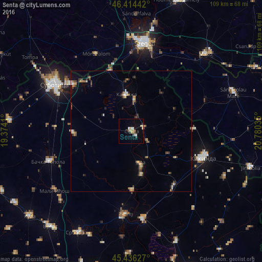
Analysis of Senta night lights 2016
Square area 10x10 km:
 1.64%
1.64%90-99
1.34%80-89
2.38%70-79
2.38%60-69
0.6%50-59
1.19%40-49
1.34%30-39
1.49%20-29
0.74%10-19
1.79%0-9
85.12%Square area 50x50 km:
0.22%90-99
0.4%80-89
0.32%70-79
0.45%60-69
0.52%50-59
0.48%40-49
0.57%30-39
0.7%20-29
0.6%10-19
0.8%0-9
94.94%Clear (daylight) street map image can be seen on geolist.org.
Map coordinates:
46° 24' 51.9" North, 19° 22' 26.8" East
45° 55' 39" North, 20° 4' 38" East
45° 26' 10.6" North, 20° 46' 49.3" East
Some cities around Senta sort by population:
• Kikinda
31.9 km =19.8 mi,  109°
109°
• Kanjiža
15.6 km =9.7 mi,  352°
352°
• Bačko Petrovo Selo
24.5 km =15.2 mi,  179°
179°
• Novi Kneževac
13.7 km =8.5 mi,  7°
7°
• Mol
18.6 km =11.6 mi,  166°
166°
• Novo Miloševo
29.1 km =18.1 mi,  142°
142°
• Mokrin
25.9 km =16.1 mi,  88°
88°
• Čoka
5.4 km =3.4 mi,  71°
71°
785965 (p: 20,302)
Sources (retrieved 2019-11-25):
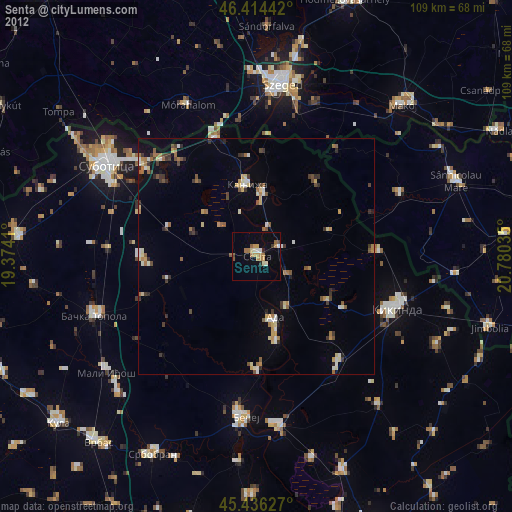
» Earth at Night: Flat Maps 2012, 2016