Zvoriştea night lights from space
Night Light of Zvoriştea (Suceava) from space (Romania) Src. Average luminocity for 10x10km area is 0% and for 50x50km: 1.9213%.
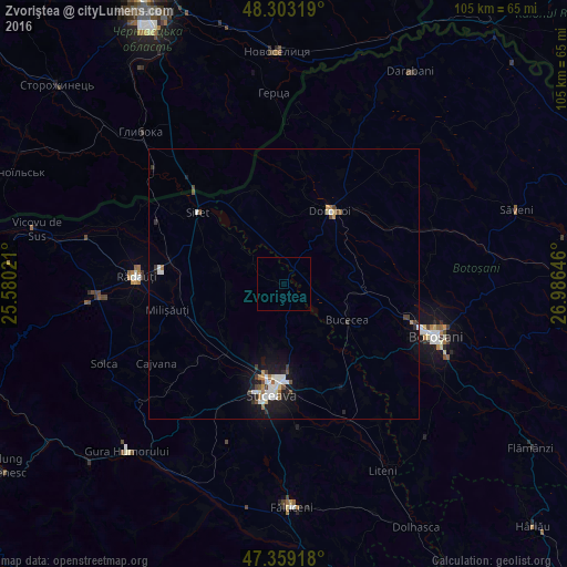
Analysis of Zvoriştea night lights 2016
Square area 10x10 km:
 0%
0%90-99
0%80-89
0%70-79
0%60-69
0%50-59
0%40-49
0%30-39
0%20-29
0%10-19
0%0-9
100%Square area 50x50 km:
0.37%90-99
0.35%80-89
0.14%70-79
0.14%60-69
0.16%50-59
0.17%40-49
0.34%30-39
0.19%20-29
0.3%10-19
1.73%0-9
96.12%Clear (daylight) street map image can be seen on geolist.org.
Map coordinates:
48° 18' 11.5" North, 25° 34' 48.8" East
47° 49' 60" North, 26° 16' 60" East
47° 21' 33" North, 26° 59' 11.3" East
Some cities around Zvoriştea sort by population:
• Dorohoi
15.6 km =9.7 mi,  33°
33°
• Adâncata
11.2 km =7 mi,  173°
173°
• Scheia
20.7 km =12.9 mi,  190°
190°
• Dărmăneşti
14.9 km =9.3 mi,  221°
221°
• Calafindeşti
12.6 km =7.8 mi,  278°
278°
• Bucecea
13.4 km =8.3 mi,  123°
123°
• Dersca
17.8 km =11.1 mi,  339°
339°
• Mihăileni
17.8 km =11.1 mi,  326°
326°
662118 (p: 6,275)
Sources (retrieved 2019-11-25):
» Earth at Night: Flat Maps 2012, 2016