Dorohoi night lights from space
Night Light of Dorohoi (Botoşani) from space (Romania) Src. Average luminocity for 10x10km area is 4.5455% and for 50x50km: 1.0972%.
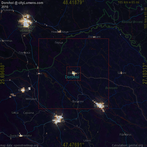
Analysis of Dorohoi night lights 2016
Square area 10x10 km:
 0.28%
0.28%90-99
0.28%80-89
1.14%70-79
1.14%60-69
0.57%50-59
0.99%40-49
1.28%30-39
0%20-29
0%10-19
0%0-9
94.32%Square area 50x50 km:
0.17%90-99
0.24%80-89
0.13%70-79
0.11%60-69
0.11%50-59
0.09%40-49
0.15%30-39
0.15%20-29
0.14%10-19
0.66%0-9
98.05%Clear (daylight) street map image can be seen on geolist.org.
Map coordinates:
48° 25' 7.6" North, 25° 41' 48.8" East
47° 57' 0" North, 26° 24' 0" East
47° 28' 36.9" North, 27° 6' 11.3" East
Some cities around Dorohoi sort by population:
• Hudeşti
23.4 km =14.5 mi,  18°
18°
• Zvoriştea
15.6 km =9.7 mi,  213°
213°
• Calafindeşti
23.9 km =14.9 mi,  242°
242°
• Suharău
20.4 km =12.7 mi,  3°
3°
• Bucecea
20.5 km =12.7 mi,  173°
173°
• Dersca
15.3 km =9.5 mi,  283°
283°
• Havârna
22.7 km =14.1 mi,  55°
55°
• Mihăileni
18.7 km =11.6 mi, 275°
679065 (p: 30,776)
Sources (retrieved 2019-11-25):
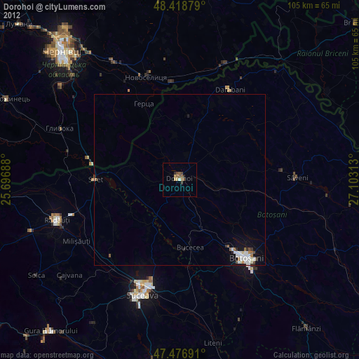
» Earth at Night: Flat Maps 2012, 2016