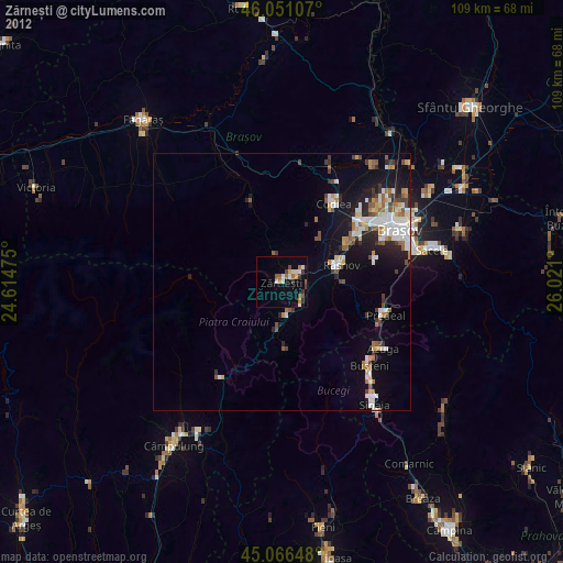
Zărnești night lights from space
Night Light of Zărnești (Braşov) from space (Romania) Src. Average luminocity for 10x10km area is 7.8136% and for 50x50km: 5.7127%.
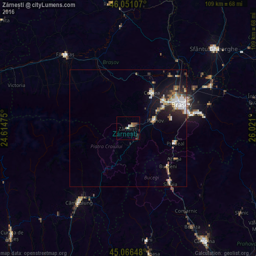
Analysis of Zărnești night lights 2016
Square area 10x10 km:
100  0.45%
0.45%
90-99 1.06%
80-89 1.21%
70-79 0.91%
60-69 0%
50-59 2.12%
40-49 2.58%
30-39 0.91%
20-29 2.12%
10-19 0.45%
0-9 88.18%
0.45%90-99
1.06%80-89
1.21%70-79
0.91%60-69
0%50-59
2.12%40-49
2.58%30-39
0.91%20-29
2.12%10-19
0.45%0-9
88.18%Square area 50x50 km:
100 1.23%
90-99 0.78%
80-89 0.64%
70-79 0.63%
60-69 0.34%
50-59 0.81%
40-49 0.7%
30-39 0.71%
20-29 1.6%
10-19 3.68%
0-9 88.88%
1.23%90-99
0.78%80-89
0.64%70-79
0.63%60-69
0.34%50-59
0.81%40-49
0.7%30-39
0.71%20-29
1.6%10-19
3.68%0-9
88.88%Clear (daylight) street map image can be seen on geolist.org.
Map coordinates:
46° 3' 3.9" North, 24° 36' 53.1" East
45° 33' 39.3" North, 25° 19' 4.3" East
45° 3' 59.3" North, 26° 1' 15.6" East
Some cities around Zărnești sort by population:
• Braşov
24.5 km =15.2 mi,  66°
66°
• Codlea
18.6 km =11.6 mi,  33°
33°
• Râşnov
10.6 km =6.6 mi,  76°
76°
• Buşteni
24.5 km =15.2 mi,  136°
136°
• Rucăr
21.4 km =13.3 mi,  213°
213°
• Predeal
20.5 km =12.7 mi,  109°
109°
• Vulcan
11.1 km =6.9 mi,  43°
43°
• Bran
5.5 km =3.4 mi,  153°
153°
662284 (p: 24,926)
Sources (retrieved 2019-11-25):
» Earth at Night: Flat Maps 2012, 2016