Braşov night lights from space
Night Light of Braşov from space (Romania) Src. Average luminocity for 10x10km area is 64.3636% and for 50x50km: 7.9337%.
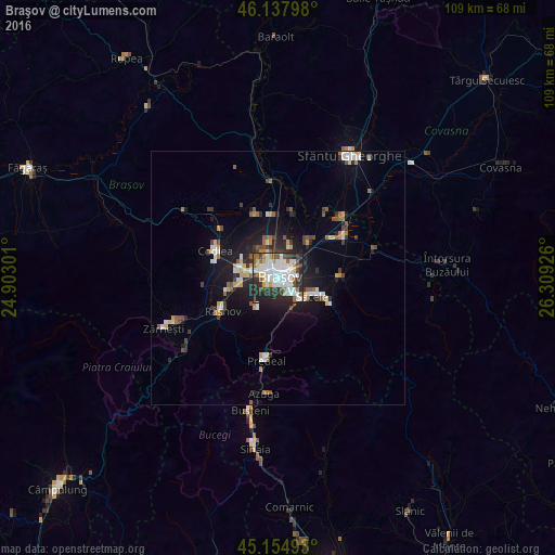
Analysis of Braşov night lights 2016
Square area 10x10 km:
 26.36%
90-99
13.79%80-89
4.24%70-79
2.88%60-69
3.48%50-59
8.64%40-49
7.12%30-39
7.88%20-29
21.67%10-19
3.94%0-9
0%Square area 50x50 km:
1.57%90-99
1.19%80-89
0.72%70-79
0.7%60-69
0.69%50-59
1.13%40-49
0.95%30-39
1.02%20-29
2.3%10-19
5.51%0-9
84.22%Clear (daylight) street map image can be seen on geolist.org.
Map coordinates:
46° 8' 16.7" North, 24° 54' 10.8" East
45° 38' 55" North, 25° 36' 22.1" East
45° 9' 17.7" North, 26° 18' 33.3" East
Some cities around Braşov sort by population:
• Săcele
8.9 km =5.5 mi,  113°
113°
• Codlea
13.4 km =8.3 mi,  295°
295°
• Râşnov
14.1 km =8.8 mi,  239°
239°
• Prejmer
14.6 km =9.1 mi,  58°
58°
• Tărlungeni
11.3 km =7 mi,  98°
98°
• Hălchiu
13.8 km =8.6 mi,  341°
341°
• Predeal
16.8 km =10.4 mi,  190°
190°
• Vulcan
14.8 km =9.2 mi,  263°
263°
683844 (p: 276,088)
Sources (retrieved 2019-11-25):
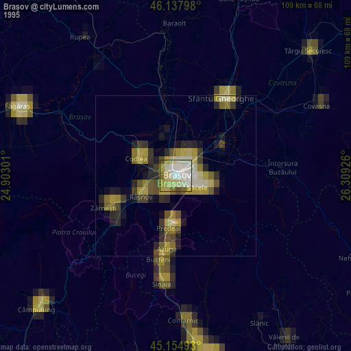
» NASA, Earths city lights 1995
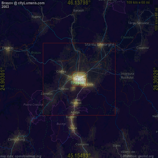
» NASA city lights 2003
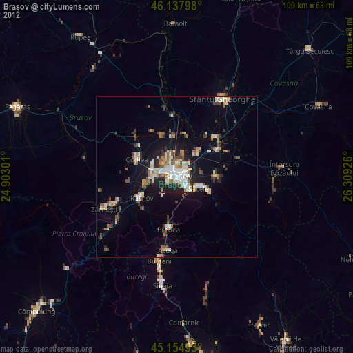
» Earth at Night: Flat Maps 2012, 2016