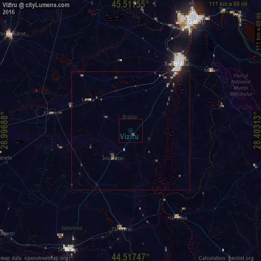
Viziru night lights from space
Night Light of Viziru (Brăila) from space (Romania) Src. Average luminocity for 10x10km area is 0.6429% and for 50x50km: 1.0334%.
Analysis of Viziru night lights 2016
Square area 10x10 km:
 0%
0%90-99
0%80-89
0%70-79
0%60-69
0%50-59
0%40-49
1.27%30-39
0%20-29
0%10-19
0%0-9
98.73%Square area 50x50 km:
0.02%90-99
0.1%80-89
0.04%70-79
0.09%60-69
0.15%50-59
0.25%40-49
0.34%30-39
0.18%20-29
0.33%10-19
0.97%0-9
97.54%Clear (daylight) street map image can be seen on geolist.org.
Map coordinates:
45° 30' 41.6" North, 26° 59' 48.8" East
45° 1' 0" North, 27° 42' 0" East
44° 31' 2.9" North, 28° 24' 11.3" East
Some cities around Viziru sort by population:
• Brăila
35.6 km =22.1 mi,  37°
37°
• Ţăndărei
40.9 km =25.4 mi,  183°
183°
• Ianca
23.5 km =14.6 mi,  303°
303°
• Însurăţei
13.6 km =8.5 mi,  215°
215°
• Mihail Kogălniceanu
37.2 km =23.1 mi, 175°
• Tufeşti
9.9 km =6.2 mi,  67°
67°
• Tudor Vladimirescu
23.6 km =14.7 mi,  19°
19°
• Chiscani
26.1 km =16.2 mi, 44°
662651 (p: 6,305)
Sources (retrieved 2019-11-25):
» Earth at Night: Flat Maps 2012, 2016