Însurăţei night lights from space
Night Light of Însurăţei (Brăila) from space (Romania) Src. Average luminocity for 10x10km area is 2.2603% and for 50x50km: 0.5259%.
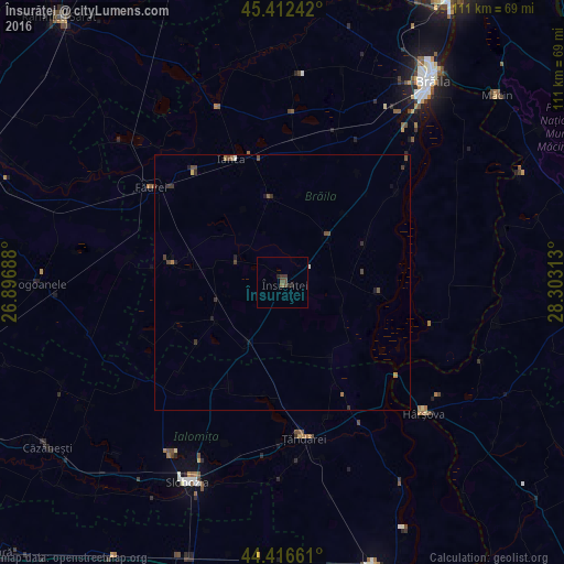
Analysis of Însurăţei night lights 2016
Square area 10x10 km:
 0%
0%90-99
0%80-89
0%70-79
0%60-69
0.32%50-59
0.63%40-49
1.59%30-39
1.27%20-29
0.95%10-19
0.95%0-9
94.29%Square area 50x50 km:
0%90-99
0.05%80-89
0.02%70-79
0.01%60-69
0.14%50-59
0.09%40-49
0.3%30-39
0.23%20-29
0.14%10-19
0.16%0-9
98.87%Clear (daylight) street map image can be seen on geolist.org.
Map coordinates:
45° 24' 44.7" North, 26° 53' 48.8" East
44° 55' 0" North, 27° 36' 0" East
44° 24' 59.8" North, 28° 18' 11.3" East
Some cities around Însurăţei sort by population:
• Ţăndărei
30.1 km =18.7 mi,  169°
169°
• Ianca
26.8 km =16.7 mi,  333°
333°
• Griviţa
32.2 km =20 mi,  230°
230°
• Viziru
13.6 km =8.5 mi,  35°
35°
• Mihail Kogălniceanu
28 km =17.4 mi,  157°
157°
• Tufeşti
22.6 km =14 mi,  48°
48°
• Săveni
35.4 km =22 mi, 173°
• Bucu
35.6 km =22.1 mi,  193°
193°
675590 (p: 7,309)
Sources (retrieved 2019-11-25):
» Earth at Night: Flat Maps 2012, 2016