Ulmeni night lights from space
Night Light of Ulmeni (Călăraşi) from space (Romania) Src. Average luminocity for 10x10km area is 0.4561% and for 50x50km: 1.2417%.
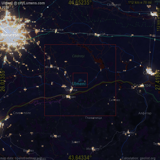
Analysis of Ulmeni night lights 2016
Square area 10x10 km:
 0%
0%90-99
0%80-89
0%70-79
0%60-69
0%50-59
0%40-49
0.61%30-39
0%20-29
0%10-19
0.61%0-9
98.79%Square area 50x50 km:
0.02%90-99
0.12%80-89
0.08%70-79
0.25%60-69
0.17%50-59
0.17%40-49
0.4%30-39
0.3%20-29
0.3%10-19
0.2%0-9
97.99%Clear (daylight) street map image can be seen on geolist.org.
Map coordinates:
44° 39' 8.5" North, 26° 0' 48.8" East
44° 9' 0" North, 26° 43' 0" East
43° 38' 36" North, 27° 25' 11.3" East
Some cities around Ulmeni sort by population:
• Olteniţa
10 km =6.2 mi,  221°
221°
• Tutrakan, BG
14 km =8.7 mi, 216°
• Budeşti
22.1 km =13.7 mi,  295°
295°
• Chirnogi
12.5 km =7.8 mi,  252°
252°
• Vasilaţi
26.4 km =16.4 mi,  305°
305°
• Mânăstirea
16.4 km =10.2 mi,  63°
63°
• Curcani
12 km =7.5 mi, 297°
• Radovanu
16.9 km =10.5 mi,  289°
289°
664314 (p: 5,285)
Sources (retrieved 2019-11-25):
» Earth at Night: Flat Maps 2012, 2016