Poiana Teiului night lights from space
Night Light of Poiana Teiului (Neamţ) from space (Romania) Src. Average luminocity for 10x10km area is 0% and for 50x50km: 0.369%.
Analysis of Poiana Teiului night lights 2016
Square area 10x10 km:
 0%
0%90-99
0%80-89
0%70-79
0%60-69
0%50-59
0%40-49
0%30-39
0%20-29
0%10-19
0%0-9
100%Square area 50x50 km:
0%90-99
0.12%80-89
0.02%70-79
0.09%60-69
0%50-59
0.04%40-49
0.06%30-39
0.12%20-29
0.01%10-19
0.02%0-9
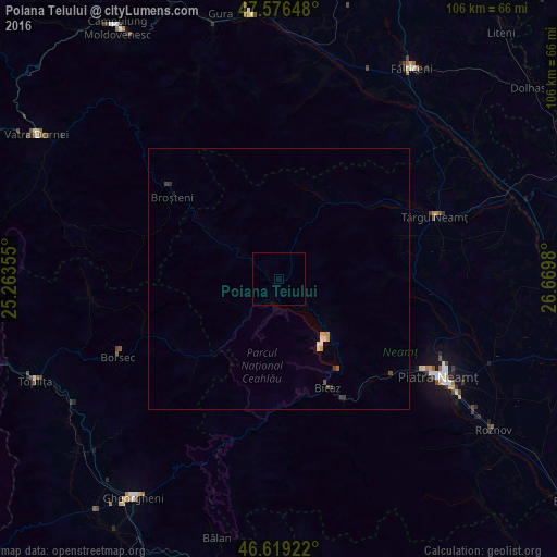
99.51%Clear (daylight) street map image can be seen on geolist.org.
Map coordinates:
47° 34' 35.3" North, 25° 15' 48.8" East
47° 6' 0" North, 25° 58' 0" East
46° 37' 9.2" North, 26° 40' 11.3" East
Some cities around Poiana Teiului sort by population:
• Vânători-Neamţ
28.7 km =17.8 mi,  67°
67°
• Pipirig
18.3 km =11.4 mi,  24°
24°
• Bicaz
21.7 km =13.5 mi,  159°
159°
• Bălţăteşti
25.3 km =15.7 mi,  85°
85°
• Broşteni
25 km =15.5 mi,  306°
306°
• Borca
17.7 km =11 mi,  301°
301°
• Grumăzeşti
30.5 km =19 mi,  83°
83°
• Viişoara
27.4 km =17 mi,  132°
132°
670021 (p: 5,145)
Sources (retrieved 2019-11-25):
» Earth at Night: Flat Maps 2012, 2016