Broşteni night lights from space
Night Light of Broşteni (Suceava) from space (Romania) Src. Average luminocity for 10x10km area is 0.5372% and for 50x50km: 0.0692%.
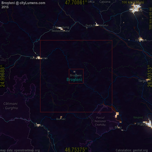
Analysis of Broşteni night lights 2016
Square area 10x10 km:
 0%
0%90-99
0%80-89
0%70-79
0%60-69
0%50-59
0%40-49
0.15%30-39
0.74%20-29
0.3%10-19
0.6%0-9
98.21%Square area 50x50 km:
0%90-99
0%80-89
0%70-79
0%60-69
0%50-59
0.05%40-49
0.01%30-39
0.05%20-29
0.01%10-19
0.05%0-9
99.84%Clear (daylight) street map image can be seen on geolist.org.
Map coordinates:
47° 42' 31" North, 24° 59' 48.8" East
47° 13' 60" North, 25° 42' 0" East
46° 45' 13.5" North, 26° 24' 11.3" East
Some cities around Broşteni sort by population:
• Câmpulung Moldovenesc
34.8 km =21.6 mi,  343°
343°
• Vatra Dornei
28.3 km =17.6 mi,  297°
297°
• Pipirig
27.7 km =17.2 mi,  86°
86°
• Borca
7.5 km =4.7 mi,  137°
137°
• Frasin
34.2 km =21.3 mi,  12°
12°
• Stulpicani
26.4 km =16.4 mi, 10°
• Slatina
33.9 km =21.1 mi,  44°
44°
• Poiana Teiului
25 km =15.5 mi,  126°
126°
683637 (p: 6,578)
Sources (retrieved 2019-11-25):
» Earth at Night: Flat Maps 2012, 2016