Borca night lights from space
Night Light of Borca (Neamţ) from space (Romania) Src. Average luminocity for 10x10km area is 0% and for 50x50km: 0.2957%.
Analysis of Borca night lights 2016
Square area 10x10 km:
 0%
0%90-99
0%80-89
0%70-79
0%60-69
0%50-59
0%40-49
0%30-39
0%20-29
0%10-19
0%0-9
100%Square area 50x50 km:
0%90-99
0.12%80-89
0.02%70-79
0.09%60-69
0%50-59
0.05%40-49
0.03%30-39
0.03%20-29
0.01%10-19
0.02%0-9
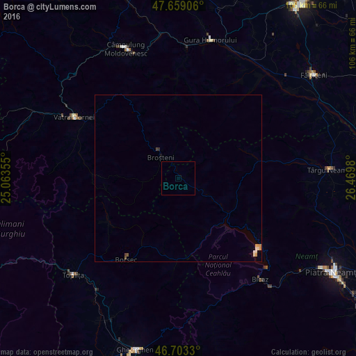
99.63%Clear (daylight) street map image can be seen on geolist.org.
Map coordinates:
47° 39' 32.6" North, 25° 3' 48.8" East
47° 10' 60" North, 25° 46' 0" East
46° 42' 11.9" North, 26° 28' 11.3" East
Some cities around Borca sort by population:
• Vatra Dornei
35.4 km =22 mi,  301°
301°
• Pipirig
23.8 km =14.8 mi,  71°
71°
• Bicaz
37.4 km =23.2 mi,  142°
142°
• Broşteni
7.5 km =4.7 mi,  317°
317°
• Stulpicani
31.5 km =19.6 mi,  0°
0°
• Valea Moldovei
37.4 km =23.2 mi,  32°
32°
• Slatina
35.1 km =21.8 mi, 32°
• Poiana Teiului
17.7 km =11 mi,  121°
121°
684230 (p: 6,556)
Sources (retrieved 2019-11-25):
» Earth at Night: Flat Maps 2012, 2016