Piatra Neamţ night lights from space
Night Light of Piatra Neamţ (Neamţ) from space (Romania) Src. Average luminocity for 10x10km area is 17.3125% and for 50x50km: 1.4144%.
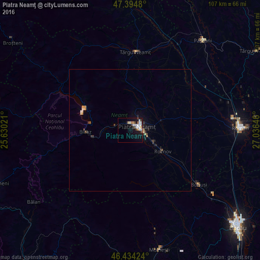
Analysis of Piatra Neamţ night lights 2016
Square area 10x10 km:
 4.02%
4.02%90-99
5.21%80-89
0.89%70-79
1.79%60-69
0.6%50-59
1.19%40-49
1.64%30-39
1.04%20-29
1.04%10-19
15.77%0-9
66.82%Square area 50x50 km:
0.16%90-99
0.33%80-89
0.11%70-79
0.19%60-69
0.04%50-59
0.13%40-49
0.17%30-39
0.28%20-29
0.17%10-19
0.99%0-9
97.42%Clear (daylight) street map image can be seen on geolist.org.
Map coordinates:
47° 23' 41.3" North, 25° 37' 48.8" East
46° 55' 0" North, 26° 19' 60" East
46° 26' 3.3" North, 27° 2' 11.3" East
Some cities around Piatra Neamţ sort by population:
• Borleşti
20.2 km =12.6 mi,  145°
145°
• Roznov
16.7 km =10.4 mi,  123°
123°
• Girov
14.4 km =8.9 mi,  75°
75°
• Dumbrava Roşie
8.5 km =5.3 mi, 116°
• Zăneşti
19.9 km =12.4 mi, 124°
• Săvineşti
12.6 km =7.8 mi,  126°
126°
• Bodeşti
14.4 km =8.9 mi,  25°
25°
• Viişoara
7.8 km =4.8 mi,  283°
283°
670889 (p: 102,688)
Sources (retrieved 2019-11-25):
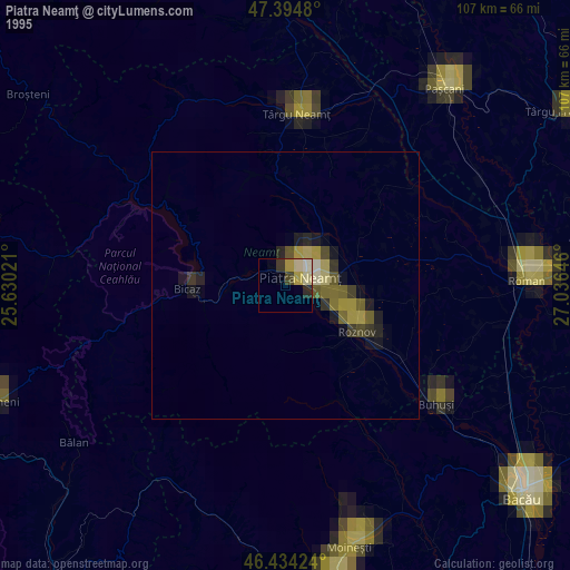
» NASA, Earths city lights 1995
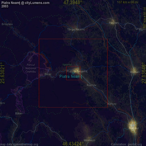
» NASA city lights 2003
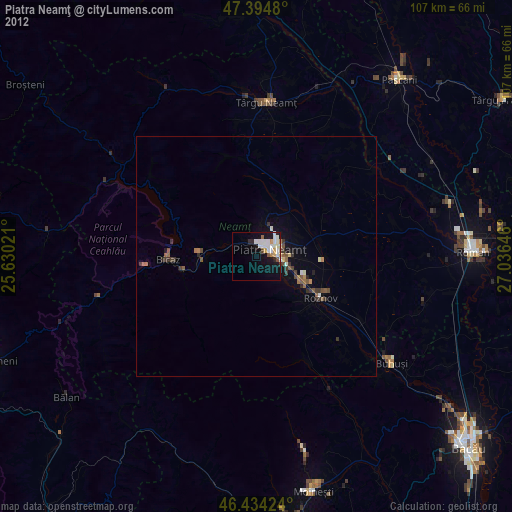
» Earth at Night: Flat Maps 2012, 2016