Dumbrava Roşie night lights from space
Night Light of Dumbrava Roşie (Neamţ) from space (Romania) Src. Average luminocity for 10x10km area is 10.4271% and for 50x50km: 1.2202%.
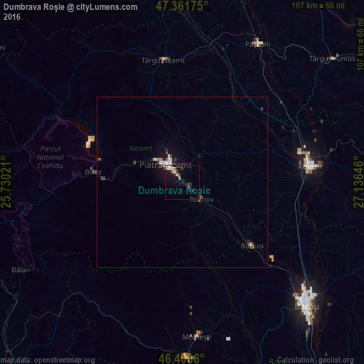
Analysis of Dumbrava Roşie night lights 2016
Square area 10x10 km:
 1.04%
1.04%90-99
1.49%80-89
1.49%70-79
1.79%60-69
0.45%50-59
0.15%40-49
1.49%30-39
2.68%20-29
2.38%10-19
9.23%0-9
77.83%Square area 50x50 km:
0.16%90-99
0.21%80-89
0.09%70-79
0.12%60-69
0.04%50-59
0.13%40-49
0.2%30-39
0.29%20-29
0.2%10-19
1.04%0-9
97.51%Clear (daylight) street map image can be seen on geolist.org.
Map coordinates:
47° 21' 42.3" North, 25° 43' 48.8" East
46° 52' 60" North, 26° 25' 60" East
46° 24' 2.2" North, 27° 8' 11.3" East
Some cities around Dumbrava Roşie sort by population:
• Piatra Neamţ
8.5 km =5.3 mi,  296°
296°
• Borleşti
13.5 km =8.4 mi,  163°
163°
• Roznov
8.4 km =5.2 mi,  131°
131°
• Piatra Şoimului
5.6 km =3.5 mi,  180°
180°
• Girov
9.7 km =6 mi,  40°
40°
• Zăneşti
11.6 km =7.2 mi, 129°
• Săvineşti
4.5 km =2.8 mi,  145°
145°
• Viişoara
16.2 km =10.1 mi,  290°
290°
678715 (p: 7,104)
Sources (retrieved 2019-11-25):
» Earth at Night: Flat Maps 2012, 2016