Cantemir night lights from space
Night Light of Cantemir from space (Moldova) Src. Average luminocity for 10x10km area is 0% and for 50x50km: 0.0042%.
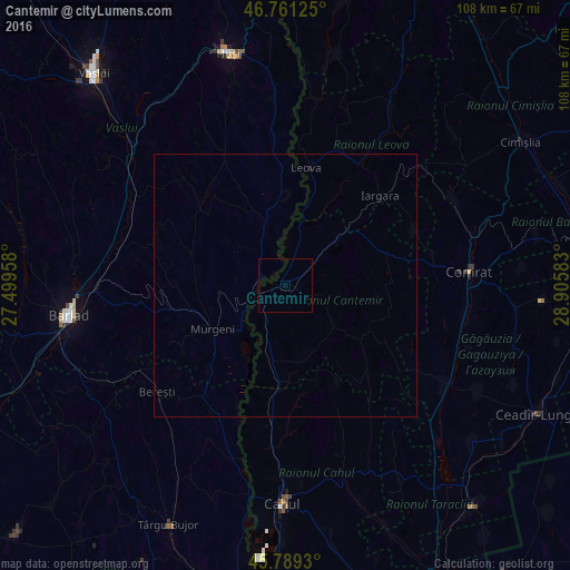
Analysis of Cantemir night lights 2016
Square area 10x10 km:
 0%
0%90-99
0%80-89
0%70-79
0%60-69
0%50-59
0%40-49
0%30-39
0%20-29
0%10-19
0%0-9
100%Square area 50x50 km:
0%90-99
0%80-89
0%70-79
0%60-69
0%50-59
0%40-49
0%30-39
0%20-29
0%10-19
0.02%0-9
99.98%Clear (daylight) street map image can be seen on geolist.org.
Map coordinates:
46° 45' 40.5" North, 27° 29' 58.5" East
46° 16' 38.7" North, 28° 12' 9.7" East
45° 47' 21.5" North, 28° 54' 21" East
Some cities around Cantemir sort by population:
• Comrat
34.9 km =21.7 mi,  86°
86°
• Leova
23.1 km =14.4 mi,  9°
9°
• Murgeni, RO
16.2 km =10.1 mi,  240°
240°
• Văleni, RO
36.7 km =22.8 mi,  342°
342°
• Fălciu, RO
5.2 km =3.2 mi,  293°
293°
• Banca, RO
31 km =19.3 mi,  274°
274°
• Iargara
23.8 km =14.8 mi,  46°
46°
• Berezeni, RO
11.8 km =7.3 mi, 338°
618452 (p: 3,829)
Sources (retrieved 2019-11-25):
» Earth at Night: Flat Maps 2012, 2016