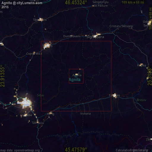
Agnita night lights from space
Night Light of Agnita (Sibiu) from space (Romania) Src. Average luminocity for 10x10km area is 1.5685% and for 50x50km: 0.6727%.
Analysis of Agnita night lights 2016
Square area 10x10 km:
 0%
0%90-99
0.15%80-89
0.45%70-79
0.6%60-69
0%50-59
0.15%40-49
0.15%30-39
0%20-29
1.49%10-19
0%0-9
97.02%Square area 50x50 km:
0.12%90-99
0.1%80-89
0.04%70-79
0.1%60-69
0.04%50-59
0.12%40-49
0.16%30-39
0.02%20-29
0.06%10-19
0.16%0-9
99.06%Clear (daylight) street map image can be seen on geolist.org.
Map coordinates:
46° 27' 11.7" North, 23° 54' 48.8" East
45° 58' 0" North, 24° 37' 0" East
45° 28' 32.8" North, 25° 19' 11.3" East
Some cities around Agnita sort by population:
• Mediaş
30.3 km =18.8 mi,  317°
317°
• Sighișoara
31.4 km =19.5 mi,  25°
25°
• Făgăraș
30 km =18.6 mi,  115°
115°
• Avrig
33.2 km =20.6 mi,  213°
213°
• Victoria
27.2 km =16.9 mi,  165°
165°
• Dumbrăveni
29.9 km =18.6 mi,  352°
352°
• Albeşti
34.7 km =21.6 mi, 31°
• Copşa Mică
32.8 km =20.4 mi,  300°
300°
686616 (p: 10,505)
Sources (retrieved 2019-11-25):
» Earth at Night: Flat Maps 2012, 2016