Drăguţeşti night lights from space
Night Light of Drăguţeşti (Gorj) from space (Romania) Src. Average luminocity for 10x10km area is 2.9159% and for 50x50km: 1.9763%.
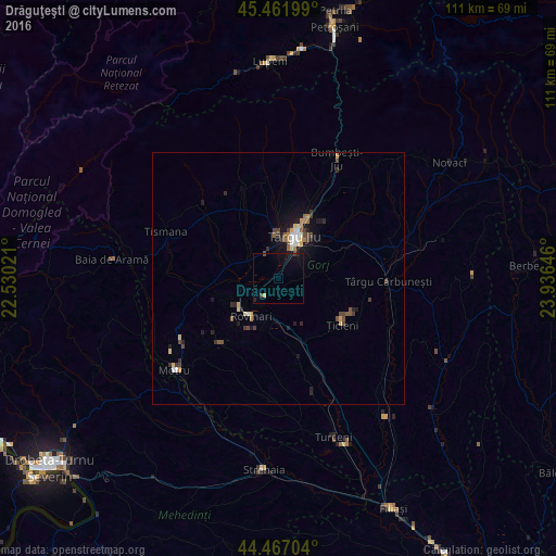
Analysis of Drăguţeşti night lights 2016
Square area 10x10 km:
 0%
0%90-99
0%80-89
0.63%70-79
0%60-69
0%50-59
0%40-49
0.95%30-39
0.32%20-29
0.79%10-19
3.33%0-9
93.97%Square area 50x50 km:
0.16%90-99
0.19%80-89
0.32%70-79
0.18%60-69
0.18%50-59
0.34%40-49
0.42%30-39
0.37%20-29
0.45%10-19
1.33%0-9
96.05%Clear (daylight) street map image can be seen on geolist.org.
Map coordinates:
45° 27' 43.2" North, 22° 31' 48.8" East
44° 58' 0" North, 23° 13' 60" East
44° 28' 1.3" North, 23° 56' 11.3" East
Some cities around Drăguţeşti sort by population:
• Târgu Jiu
10.1 km =6.3 mi,  22°
22°
• Rovinari
6.8 km =4.2 mi,  215°
215°
• Târgu Cărbuneşti
22.4 km =13.9 mi,  94°
94°
• Băleşti
5.7 km =3.5 mi,  346°
346°
• Plopşoru
22.4 km =13.9 mi,  155°
155°
• Runcu
18.4 km =11.4 mi,  334°
334°
• Mătăsari
17.5 km =10.9 mi, 222°
• Ţicleni
16.1 km =10 mi,  125°
125°
678871 (p: 5,126)
Sources (retrieved 2019-11-25):
» Earth at Night: Flat Maps 2012, 2016