Vatra Dornei night lights from space
Night Light of Vatra Dornei (Suceava) from space (Romania) Src. Average luminocity for 10x10km area is 5.1399% and for 50x50km: 0.4155%.
Analysis of Vatra Dornei night lights 2016
Square area 10x10 km:
 0.3%
0.3%90-99
0.89%80-89
0.6%70-79
0%60-69
0.6%50-59
1.79%40-49
1.64%30-39
0.74%20-29
1.19%10-19
0.6%0-9
91.67%Square area 50x50 km:
0.05%90-99
0.09%80-89
0.02%70-79
0%60-69
0.07%50-59
0.07%40-49
0.13%30-39
0.09%20-29
0.08%10-19
0.04%0-9
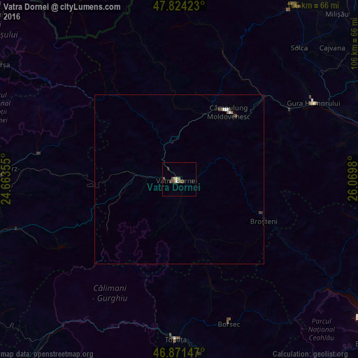
99.36%Clear (daylight) street map image can be seen on geolist.org.
Map coordinates:
47° 49' 27.2" North, 24° 39' 48.8" East
47° 21' 0" North, 25° 22' 0" East
46° 52' 17.3" North, 26° 4' 11.3" East
Some cities around Vatra Dornei sort by population:
• Câmpulung Moldovenesc
25.3 km =15.7 mi,  36°
36°
• Gura Humorului
45.9 km =28.5 mi,  60°
60°
• Broşteni
28.3 km =17.6 mi,  117°
117°
• Borca
35.4 km =22 mi, 121°
• Frasin
38.4 km =23.9 mi, 57°
• Stulpicani
32.8 km =20.4 mi,  66°
66°
• Rodna
42.1 km =26.2 mi,  280°
280°
• Vama
33.9 km =21.1 mi, 44°
663100 (p: 16,054)
Sources (retrieved 2019-11-25):
» Earth at Night: Flat Maps 2012, 2016