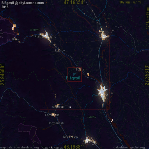
Blăgeşti night lights from space
Night Light of Blăgeşti (Bacău) from space (Romania) Src. Average luminocity for 10x10km area is 1.5966% and for 50x50km: 2.6834%.
Analysis of Blăgeşti night lights 2016
Square area 10x10 km:
 0%
0%90-99
0%80-89
0%70-79
0.57%60-69
0%50-59
0.57%40-49
1.14%30-39
0.57%20-29
0.28%10-19
0.57%0-9
96.31%Square area 50x50 km:
0.45%90-99
0.55%80-89
0.3%70-79
0.13%60-69
0.16%50-59
0.2%40-49
0.31%30-39
0.4%20-29
0.64%10-19
2.73%0-9
94.13%Clear (daylight) street map image can be seen on geolist.org.
Map coordinates:
47° 9' 48.7" North, 25° 56' 48.8" East
46° 40' 60" North, 26° 39' 0" East
46° 11' 55.7" North, 27° 21' 11.3" East
Some cities around Blăgeşti sort by population:
• Buhuşi
5.3 km =3.3 mi,  45°
45°
• Borleşti
15.7 km =9.8 mi,  306°
306°
• Roznov
19.5 km =12.1 mi,  328°
328°
• Balcani
9.4 km =5.8 mi,  233°
233°
• Pârjol
11.8 km =7.3 mi,  198°
198°
• Zăneşti
16.7 km =10.4 mi, 332°
• Podoleni
13.2 km =8.2 mi,  348°
348°
• Rediu
10.5 km =6.5 mi,  320°
320°
684619 (p: 7,165)
Sources (retrieved 2019-11-25):
» Earth at Night: Flat Maps 2012, 2016