Alba Iulia night lights from space
Night Light of Alba Iulia (Alba) from space (Romania) Src. Average luminocity for 10x10km area is 23.5227% and for 50x50km: 2.3316%.
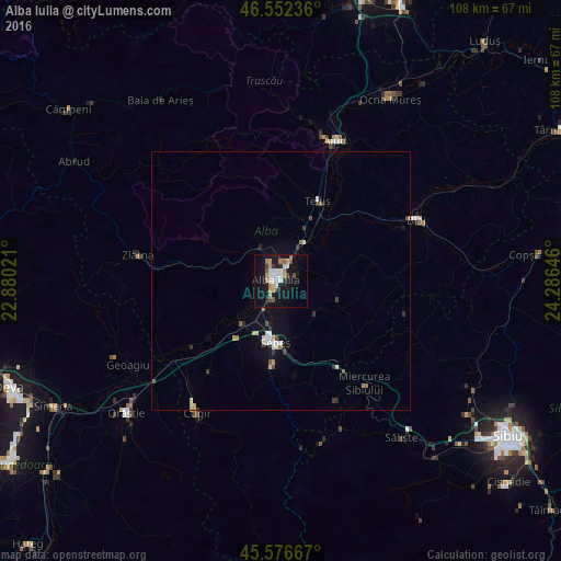
Analysis of Alba Iulia night lights 2016
Square area 10x10 km:
 3.55%
3.55%90-99
4.4%80-89
1.56%70-79
4.69%60-69
2.56%50-59
1.99%40-49
3.13%30-39
1.14%20-29
1.56%10-19
29.26%0-9
46.16%Square area 50x50 km:
0.28%90-99
0.39%80-89
0.26%70-79
0.27%60-69
0.25%50-59
0.17%40-49
0.32%30-39
0.28%20-29
0.24%10-19
2.11%0-9
95.43%Clear (daylight) street map image can be seen on geolist.org.
Map coordinates:
46° 33' 8.5" North, 22° 52' 48.8" East
46° 4' 0" North, 23° 34' 60" East
45° 34' 36" North, 24° 17' 11.3" East
Some cities around Alba Iulia sort by population:
• Aiud
29.1 km =18.1 mi,  21°
21°
• Sebeş
12.3 km =7.6 mi,  184°
184°
• Blaj
28.3 km =17.6 mi,  64°
64°
• Zlatna
27.5 km =17.1 mi,  279°
279°
• Teiuş
16.7 km =10.4 mi,  27°
27°
• Ighiu
10.6 km =6.6 mi,  330°
330°
• Săsciori
22.2 km =13.8 mi, 180°
• Vurpăr
11.7 km =7.3 mi,  230°
230°
686578 (p: 66,085)
Sources (retrieved 2019-11-25):
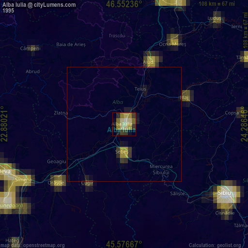
» NASA, Earths city lights 1995
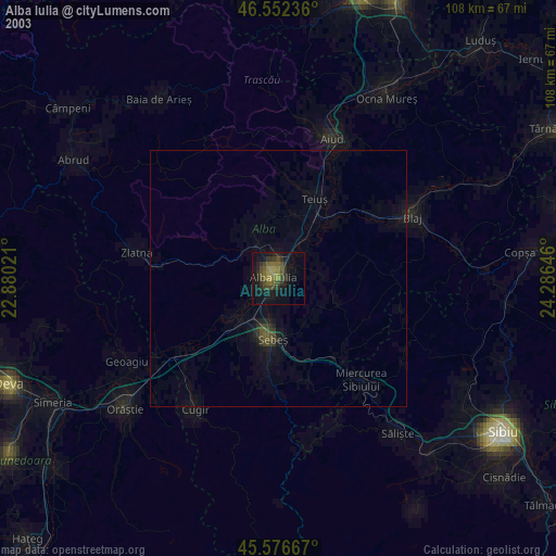
» NASA city lights 2003
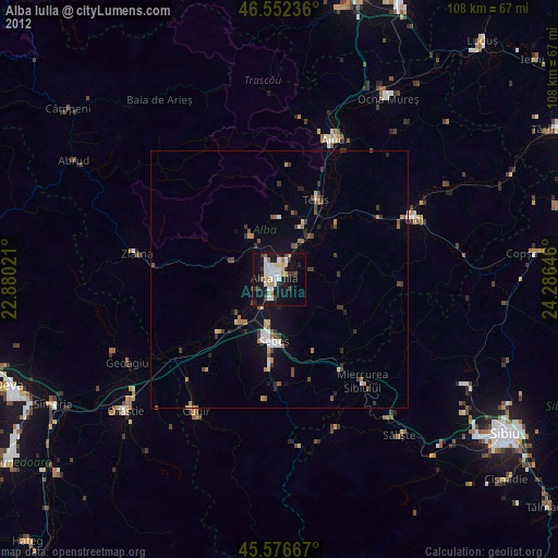
» Earth at Night: Flat Maps 2012, 2016