Zlatna night lights from space
Night Light of Zlatna (Alba) from space (Romania) Src. Average luminocity for 10x10km area is 0.9119% and for 50x50km: 1.0132%.
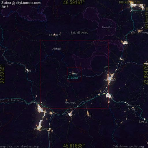
Analysis of Zlatna night lights 2016
Square area 10x10 km:
100  0%
0%
90-99 0%
80-89 0%
70-79 0%
60-69 0.57%
50-59 0%
40-49 0.14%
30-39 0.43%
20-29 0.99%
10-19 0.14%
0-9 97.73%
0%90-99
0%80-89
0%70-79
0%60-69
0.57%50-59
0%40-49
0.14%30-39
0.43%20-29
0.99%10-19
0.14%0-9
97.73%Square area 50x50 km:
100 0.08%
90-99 0.13%
80-89 0.11%
70-79 0.11%
60-69 0.14%
50-59 0.05%
40-49 0.13%
30-39 0.03%
20-29 0.16%
10-19 1.26%
0-9 97.8%
0.08%90-99
0.13%80-89
0.11%70-79
0.11%60-69
0.14%50-59
0.05%40-49
0.13%30-39
0.03%20-29
0.16%10-19
1.26%0-9
97.8%Clear (daylight) street map image can be seen on geolist.org.
Map coordinates:
46° 35' 30" North, 22° 31' 42.6" East
46° 6' 22.8" North, 23° 13' 53.8" East
45° 37' 0" North, 23° 56' 5.1" East
Some cities around Zlatna sort by population:
• Alba Iulia
27.5 km =17.1 mi,  99°
99°
• Sebeş
31 km =19.3 mi,  122°
122°
• Cugir
31.8 km =19.8 mi,  160°
160°
• Orăştie
30.5 km =19 mi,  184°
184°
• Ighiu
22.5 km =14 mi,  77°
77°
• Abrud
22.7 km =14.1 mi,  325°
325°
• Geoagiu
21.2 km =13.2 mi,  186°
186°
• Vurpăr
21.7 km =13.5 mi, 123°
662161 (p: 8,393)
Sources (retrieved 2019-11-25):
» Earth at Night: Flat Maps 2012, 2016