Saint-Benoît night lights from space
Night Light of Saint-Benoît (Réunion) from space (Reunion) Src. Average luminocity for 10x10km area is 22.6508% and for 50x50km: 7.6814%.
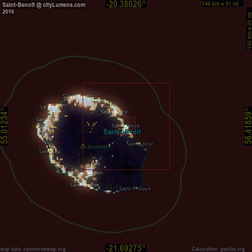
Analysis of Saint-Benoît night lights 2016
Square area 10x10 km:
 0.4%
0.4%90-99
4.37%80-89
3.17%70-79
3.37%60-69
3.57%50-59
2.58%40-49
3.97%30-39
2.38%20-29
3.97%10-19
23.41%0-9
48.81%Square area 50x50 km:
0.74%90-99
1.39%80-89
1.06%70-79
0.82%60-69
0.89%50-59
0.74%40-49
1.18%30-39
1.18%20-29
2.61%10-19
6.83%0-9
82.55%Clear (daylight) street map image can be seen on geolist.org.
Map coordinates:
20° 22' 48.9" South, 55° 0' 44.4" East
21° 2' 16.6" South, 55° 42' 55.7" East
21° 41' 33.9" South, 56° 25' 6.9" East
Some cities around Saint-Benoît sort by population:
• Le Tampon
33.5 km =20.8 mi,  217°
217°
• La Possession
41.3 km =25.7 mi,  287°
287°
• Petite-Île
38.4 km =23.9 mi,  204°
204°
• Bras-Panon
6 km =3.7 mi,  319°
319°
• Salazie
18.3 km =11.4 mi,  273°
273°
• Les Trois-Bassins
43.7 km =27.2 mi,  260°
260°
• Cilaos
27.5 km =17.1 mi,  246°
246°
• Entre-Deux
33.7 km =20.9 mi,  229°
229°
935267 (p: 35,310)
Sources (retrieved 2019-11-25):
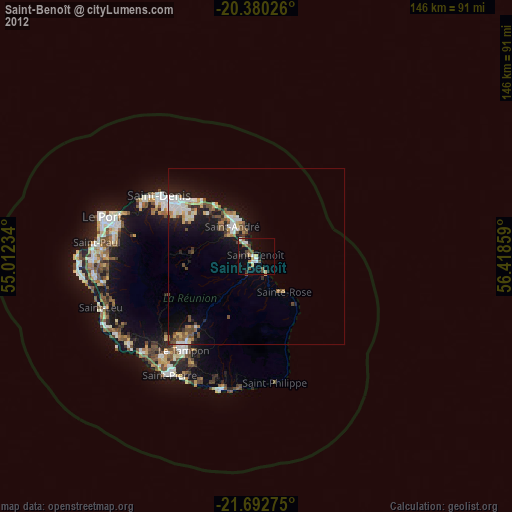
» Earth at Night: Flat Maps 2012, 2016