Saint-Leu night lights from space
Night Light of Saint-Leu (Réunion) from space (Reunion) Src. Average luminocity for 10x10km area is 27.4385% and for 50x50km: 12.0427%.
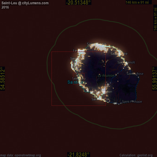
Analysis of Saint-Leu night lights 2016
Square area 10x10 km:
 0.6%
0.6%90-99
2.58%80-89
4.37%70-79
4.17%60-69
6.75%50-59
3.77%40-49
4.17%30-39
4.96%20-29
2.18%10-19
41.87%0-9
24.6%Square area 50x50 km:
1.22%90-99
2.02%80-89
1.76%70-79
1.29%60-69
1.46%50-59
1.14%40-49
2.06%30-39
2.21%20-29
3.59%10-19
11.37%0-9
71.87%Clear (daylight) street map image can be seen on geolist.org.
Map coordinates:
20° 30' 48.5" South, 54° 35' 6.4" East
21° 10' 14.1" South, 55° 17' 17.7" East
21° 49' 29.3" South, 55° 59' 28.9" East
Some cities around Saint-Leu sort by population:
• Le Tampon
26.5 km =16.5 mi,  116°
116°
• Le Port
25.9 km =16.1 mi,  1°
1°
• Piton Saint-Leu
6.1 km =3.8 mi,  152°
152°
• La Possession
27.3 km =17 mi,  10°
10°
• Les Avirons
9.3 km =5.8 mi, 147°
• Les Trois-Bassins
7.9 km =4.9 mi, 8°
• Cilaos
19.4 km =12.1 mi,  78°
78°
• Entre-Deux
19.8 km =12.3 mi,  110°
110°
935225 (p: 28,278)
Sources (retrieved 2019-11-25):
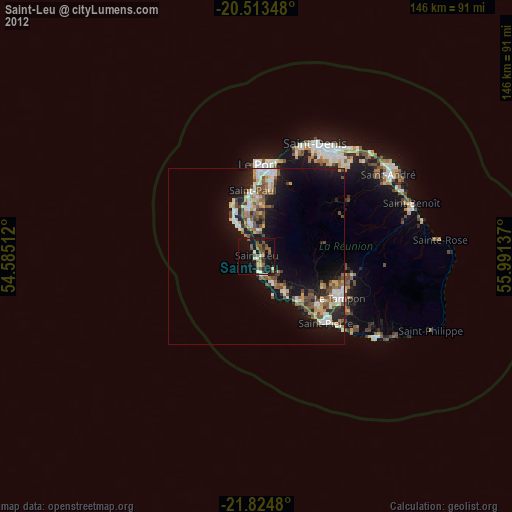
» Earth at Night: Flat Maps 2012, 2016