Torres Vedras night lights from space
Night Light of Torres Vedras (Lisbon) from space (Portugal) Src. Average luminocity for 10x10km area is 48.414% and for 50x50km: 28.993%.
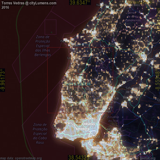
Analysis of Torres Vedras night lights 2016
Square area 10x10 km:
 4.06%
4.06%90-99
8.93%80-89
6.17%70-79
6.66%60-69
7.63%50-59
7.14%40-49
6.49%30-39
15.91%20-29
28.25%10-19
8.77%0-9
0%Square area 50x50 km:
1.92%90-99
3.64%80-89
3.29%70-79
3.1%60-69
5.69%50-59
5.94%40-49
5.74%30-39
8.82%20-29
12.51%10-19
15.73%0-9
33.62%Clear (daylight) street map image can be seen on geolist.org.
Map coordinates:
39° 38' 4.9" North, 9° 57' 42.2" West
39° 5' 27.9" North, 9° 15' 31" West
38° 32' 35.7" North, 8° 33' 19.7" West
Some cities around Torres Vedras sort by population:
• Mafra
18 km =11.2 mi,  199°
199°
• Lourinhã
17.4 km =10.8 mi,  344°
344°
• Ericeira
19.7 km =12.2 mi,  223°
223°
• Silveira
9.4 km =5.8 mi,  283°
283°
• A dos Cunhados
7.6 km =4.7 mi,  333°
333°
• Arruda dos Vinhos
19.7 km =12.2 mi,  127°
127°
• Milharado
16.8 km =10.4 mi,  162°
162°
• Ventosa
15.6 km =9.7 mi,  75°
75°
2262581 (p: 24,443)
Sources (retrieved 2019-11-25):
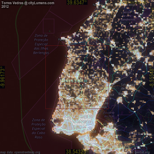
» Earth at Night: Flat Maps 2012, 2016