Rio de Mouro night lights from space
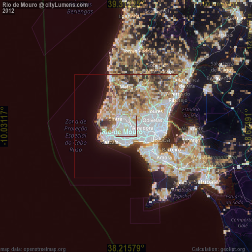
Night Light of Rio de Mouro (Lisbon) from space (Portugal) Src. Average luminocity for 10x10km area is 94.5391% and for 50x50km: 44.098%.
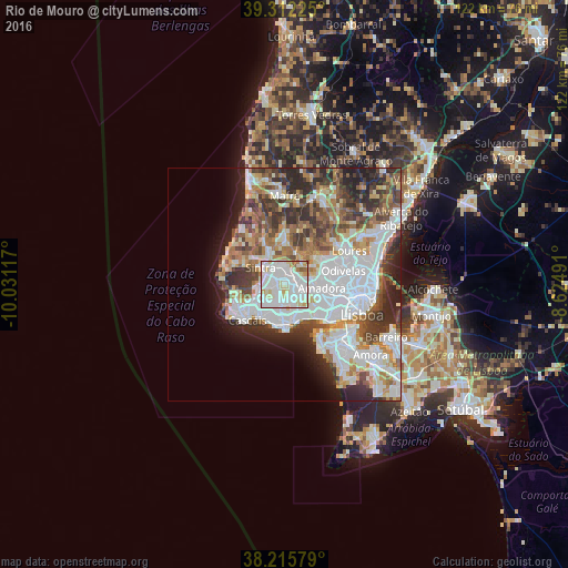
Analysis of Rio de Mouro night lights 2016
Square area 10x10 km:
 40.14%
90-99
39.8%80-89
11.39%70-79
4.42%60-69
2.55%50-59
1.7%40-49
0%30-39
0%20-29
0%10-19
0%0-9
0%Square area 50x50 km:
14.15%90-99
10.35%80-89
3.78%70-79
3.87%60-69
5.56%50-59
5.06%40-49
5.26%30-39
6.47%20-29
7.74%10-19
5.55%0-9
32.22%Clear (daylight) street map image can be seen on geolist.org.
Map coordinates:
39° 18' 44.1" North, 10° 1' 52.2" West
38° 45' 58.1" North, 9° 19' 40.9" West
38° 12' 56.8" North, 8° 37' 29.7" West
Some cities around Rio de Mouro sort by population:
• Cacém
2.6 km =1.6 mi,  87°
87°
• Algueirão
3.8 km =2.4 mi,  338°
338°
• Massamá
4.3 km =2.7 mi,  110°
110°
• Sintra
5.8 km =3.6 mi,  311°
311°
• Belas
5.7 km =3.5 mi,  78°
78°
• Porto Salvo
5.2 km =3.2 mi,  157°
157°
• Barcarena
5.6 km =3.5 mi,  131°
131°
• Mem Martins
3.4 km =2.1 mi, 337°
2263827 (p: 54,695)
Sources (retrieved 2019-11-25):
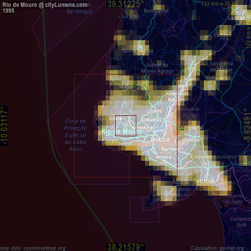
» NASA, Earths city lights 1995
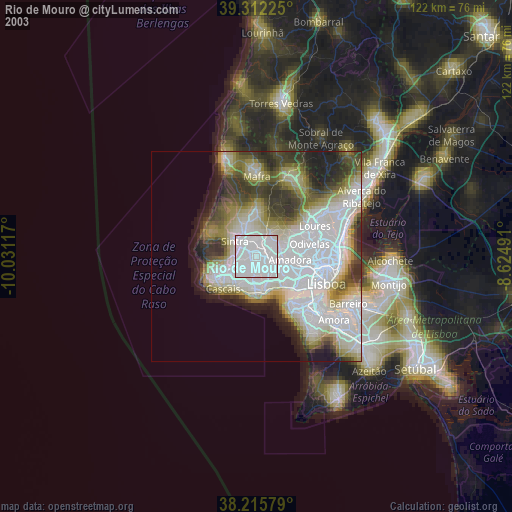
» NASA city lights 2003
» Earth at Night: Flat Maps 2012, 2016