Carcavelos night lights from space
Night Light of Carcavelos (Lisbon) from space (Portugal) Src. Average luminocity for 10x10km area is 66.8299% and for 50x50km: 40.2532%.
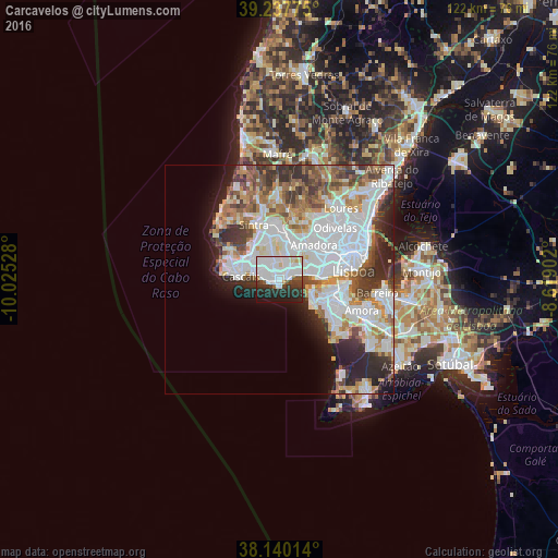
Analysis of Carcavelos night lights 2016
Square area 10x10 km:
 26.19%
90-99
24.32%80-89
3.23%70-79
1.36%60-69
0.85%50-59
3.91%40-49
3.23%30-39
8.84%20-29
18.2%10-19
9.86%0-9
0%Square area 50x50 km:
13.94%90-99
9.76%80-89
3.11%70-79
3.64%60-69
4.58%50-59
4.08%40-49
4.25%30-39
5.03%20-29
6.61%10-19
5.97%0-9
39.04%Clear (daylight) street map image can be seen on geolist.org.
Map coordinates:
39° 14' 15.9" North, 10° 1' 31" West
38° 41' 27.8" North, 9° 19' 19.7" West
38° 8' 24.5" North, 8° 37' 8.5" West
Some cities around Carcavelos sort by population:
• São Domingos de Rana
2 km =1.2 mi,  306°
306°
• Oeiras
1 km =0.6 mi,  90°
90°
• Paço de Arcos
2.7 km =1.7 mi,  79°
79°
• Parede
2.8 km =1.7 mi,  274°
274°
• Porto Salvo
3.9 km =2.4 mi,  23°
23°
• Barcarena
5.9 km =3.7 mi,  38°
38°
• Caxias
4.2 km =2.6 mi,  71°
71°
• Queijas
6 km =3.7 mi,  58°
58°
2270184 (p: 20,366)
Sources (retrieved 2019-11-25):
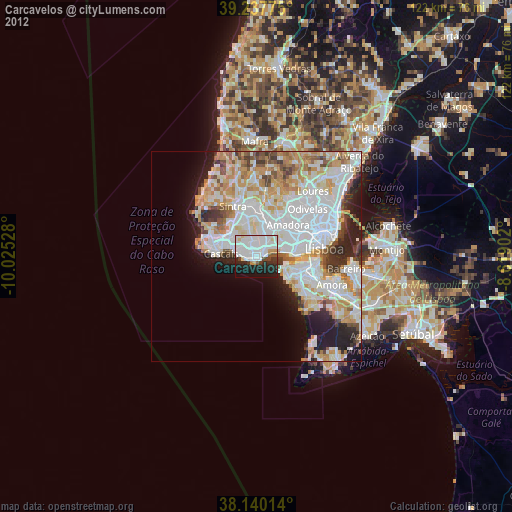
» Earth at Night: Flat Maps 2012, 2016