Ayamonte night lights from space
Night Light of Ayamonte (Andalusia) from space (Spain) Src. Average luminocity for 10x10km area is 39.1854% and for 50x50km: 7.5408%.
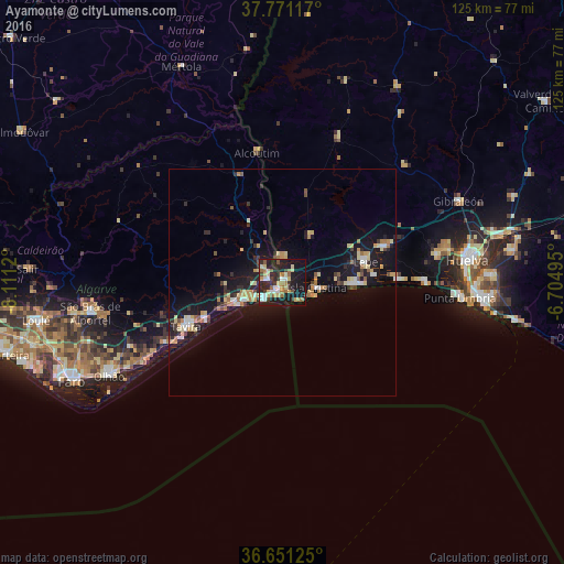
Analysis of Ayamonte night lights 2016
Square area 10x10 km:
 4.93%
4.93%90-99
4.59%80-89
9.86%70-79
2.72%60-69
7.48%50-59
4.42%40-49
2.55%30-39
5.61%20-29
14.97%10-19
37.24%0-9
5.61%Square area 50x50 km:
0.71%90-99
0.63%80-89
1.65%70-79
0.91%60-69
1.07%50-59
0.58%40-49
0.5%30-39
0.98%20-29
1.94%10-19
9.02%0-9
82.02%Clear (daylight) street map image can be seen on geolist.org.
Map coordinates:
37° 46' 16.2" North, 8° 6' 40.3" West
37° 12' 47.8" North, 7° 24' 29.1" West
36° 39' 4.5" North, 6° 42' 17.8" West
Some cities around Ayamonte sort by population:
• Lepe
18.6 km =11.6 mi,  75°
75°
• Isla Cristina
8.2 km =5.1 mi,  100°
100°
• Aljaraque
34.7 km =21.6 mi, 79°
• Cartaya
24 km =14.9 mi,  71°
71°
• Tavira, PT
23.4 km =14.5 mi,  245°
245°
• Vila Real de Santo António, PT
2.2 km =1.4 mi,  202°
202°
• Moncarapacho, PT
36.6 km =22.7 mi, 246°
• Castro Marim, PT
3.2 km =2 mi,  284°
284°
2521456 (p: 20,334)
Sources (retrieved 2019-11-25):
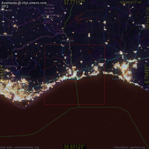
» Earth at Night: Flat Maps 2012, 2016