Loulé night lights from space
Night Light of Loulé (Faro) from space (Portugal) Src. Average luminocity for 10x10km area is 50.9507% and for 50x50km: 18.1643%.
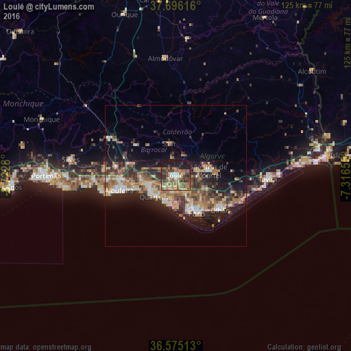
Analysis of Loulé night lights 2016
Square area 10x10 km:
 2.72%
2.72%90-99
4.76%80-89
7.99%70-79
8.16%60-69
18.03%50-59
8.84%40-49
12.59%30-39
13.78%20-29
9.18%10-19
13.95%0-9
0%Square area 50x50 km:
1.65%90-99
1.7%80-89
2.97%70-79
2.17%60-69
4.69%50-59
2.56%40-49
2.95%30-39
3.88%20-29
6.12%10-19
10.23%0-9
61.09%Clear (daylight) street map image can be seen on geolist.org.
Map coordinates:
37° 41' 46.2" North, 8° 43' 22.1" West
37° 8' 15.8" North, 8° 1' 10.8" West
36° 34' 30.5" North, 7° 18' 59.6" West
Some cities around Loulé sort by population:
• Faro
15.6 km =9.7 mi,  148°
148°
• Olhão
20 km =12.4 mi,  127°
127°
• Laranjeiro
20.3 km =12.6 mi,  112°
112°
• Quarteira
10.4 km =6.5 mi,  223°
223°
• Albufeira
21.2 km =13.2 mi,  254°
254°
• São Brás de Alportel
11.8 km =7.3 mi,  81°
81°
• Almancil
5.7 km =3.5 mi,  189°
189°
• Ferreiras
19.3 km =12 mi,  267°
267°
2266988 (p: 23,109)
Sources (retrieved 2019-11-25):
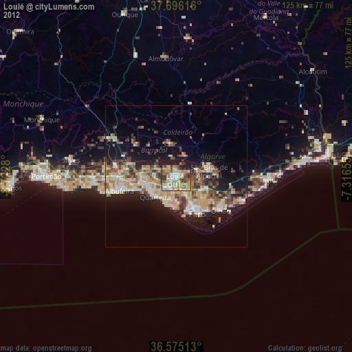
» Earth at Night: Flat Maps 2012, 2016