Arrifana night lights from space
Night Light of Arrifana (Aveiro) from space (Portugal) Src. Average luminocity for 10x10km area is 75.7432% and for 50x50km: 35.8011%.
Analysis of Arrifana night lights 2016
Square area 10x10 km:
 10.2%
10.2%90-99
19.05%80-89
9.01%70-79
20.58%60-69
26.02%50-59
9.01%40-49
5.1%30-39
1.02%20-29
0%10-19
0%0-9
0%Square area 50x50 km:
5.94%90-99
6.56%80-89
4.24%70-79
5.24%60-69
6.63%50-59
5.41%40-49
4.44%30-39
5.49%20-29
9.92%10-19
11.79%0-9
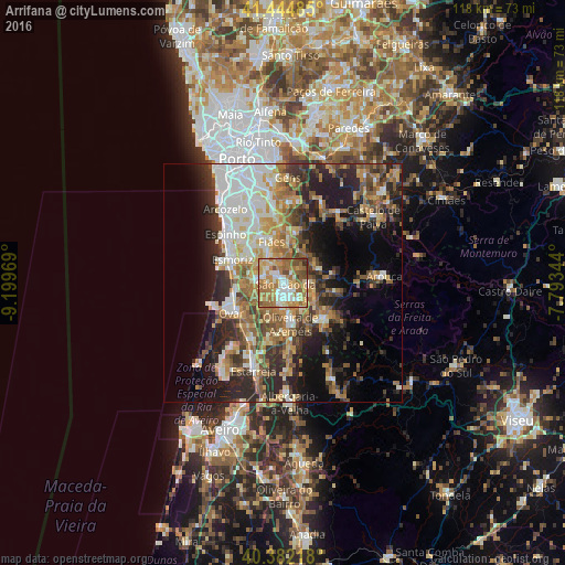
34.35%Clear (daylight) street map image can be seen on geolist.org.
Map coordinates:
41° 26' 41.5" North, 9° 11' 58.9" West
40° 54' 56.3" North, 8° 29' 47.7" West
40° 22' 55.8" North, 7° 47' 36.4" West
Some cities around Arrifana sort by population:
• São João da Madeira
1.7 km =1.1 mi,  162°
162°
• Feira
4 km =2.5 mi,  285°
285°
• Oliveira de Azemeis
8.5 km =5.3 mi,  167°
167°
• Cucujães
4.7 km =2.9 mi,  190°
190°
• Lourosa
8.9 km =5.5 mi,  328°
328°
• São João de Ver
6.4 km =4 mi,  313°
313°
• Lobão
7.9 km =4.9 mi,  6°
6°
• São Roque
5.3 km =3.3 mi, 156°
2742681 (p: 6,927)
Sources (retrieved 2019-11-25):
» Earth at Night: Flat Maps 2012, 2016